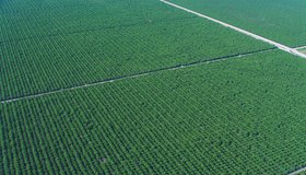
Field-Scale Crop Water Consumption Points to Potential Water Savings in Agriculture
Using remote-sensing data and machine learning, a team from NASA and beyond finds that switching to lower-intensity crops can reduce water consumption in California’s Central Valley by 93%, but this requires adopting uncommon crop types.
US, Germany Partnering on Mission to Track Earth’s Water Movement
The Gravity Recovery and Climate Experiment-Continuity mission will extend a decades-long record of following shifting water masses using gravity measurements.
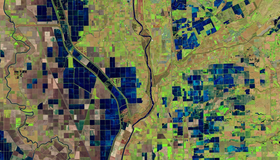
OpenET Study Helps Water Managers and Farmers Put NASA Data to Work
As the world looks for sustainable solutions, a system tapping into NASA satellite data for water management has passed a critical test.
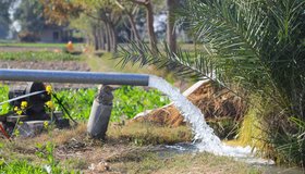
Groundwater Levels Around the World Are Dropping Quickly, Often at Accelerating Rates
Rapid declines are most common in aquifers under croplands in drier regions, including California, the most extensive analysis of groundwater trends so far shows.
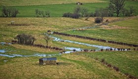
Addressing Groundwater Overdraft in the Sacramento Valley
Though the Sacramento Valley has relatively abundant surface-water supplies, groundwater is also key for many of its communities and farms.
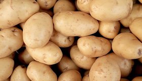
Idaho’s Potato Belt
Almost one-third of American potatoes are grown in the Snake River Plain, a belt of low-lying land in the southern part of the state.

Measuring Groundwater Overdraft in the Sacramento Valley
Much recent attention towards groundwater sustainability has focused on the heavily overdrafted San Joaquin Valley. However, the Sacramento Valley also needs to bring its groundwater basins into balance and avoid significant undesirable results of pumping.
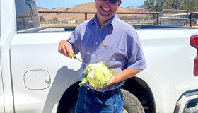
Keeping America's Salad Bowl Full
In seasons when water is scarce, tools powered by NASA data can help farmers decide where to allocate water and nutrients for irrigation and fertilizer.
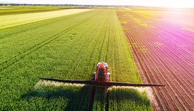
Arming Farmers With Data as Water Dwindles
Water managers need accurate, consistent and timely data. A new online platform called OpenET puts NASA data in the hands of farmers, water managers and conservation groups.
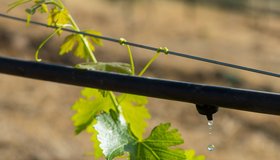
Scaling Up Climate Smart Irrigation Projects in Oregon
The Freshwater Trust has expanded its innovative agreement with the Oregon Natural Resources Conservation Service, a division of the USDA, to recruit, design, and develop a large queue of priority projects.