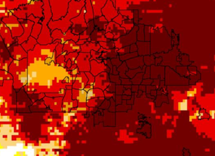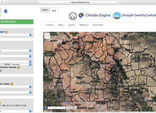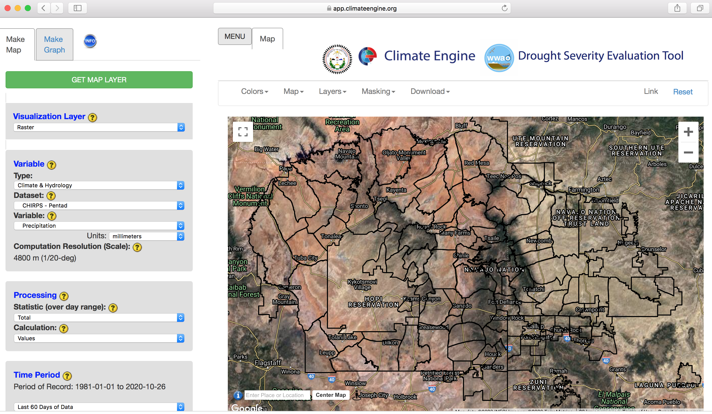
The Make Map DSET interface, designed to enable users to conduct analyses and generate visualizations that can be directly imported into drought reports, such as customizable maps and time series.
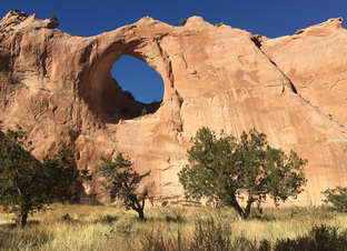
Without water, we cannot survive. Without the tools needed to understand the patterns of water availability, it is difficult to make decisions about how to manage water and provide resources to regions that need it most. On the Navajo Nation in the four corners of the southwestern U.S., water is scarce and very variable, and drought is pervasive. The Navajo need new ways of managing their water and responding to water issues using valuable, reliable data.
WWAO's Navajo Nation Drought Project has built a cloud-based web application - the Drought Severity Evaluation Tool (DSET) - to improve drought reporting and management in the Navajo Nation. The drought reports combine satellite data, modeled inputs, and in-situ data from the Navajo in a web-based platform, which harnesses Google Earth Engine. The drought tool is the result of a partnership the Navajo Nation Department of Water Resources, the Desert Research Institute, and NASA's Western Water Applications Office.
The Make Map DSET interface, designed to enable users to conduct analyses and generate visualizations that can be directly imported into drought reports, such as customizable maps and time series.
DSET is a web-based platform designed to meet the needs of water resource managers from the Navajo Nation. The tool is a spin-off of Climate Engine, a web application based on Google Earth Engine that enables users to process, visualize, download, and share global and regional climate and remote-sensing products on-demand.
Using DSET allows the science to influence the natural-resource management decision-making process. The user-centric design focuses on the ability to conduct analyses and generate visualizations, such as customizable maps and time series, that can be directly imported into drought reports.
Through the use of hands-on exercises, the user guide that follows focuses on visualizing, analyzing, and interpreting remote-sensing data. The exercises in this guide will demonstrate how to use the DSET in the areas of drought monitoring, agriculture, meadow restoration, and snowpack.
Co-development of DSET - between the Navajo Nation Department of Water Resources, the Desert Research Institute, and NASA’s Western Water Applications Office - has created an opportunity for a diverse understanding of climate conditions on the Navajo Nation. The contribution of Navajo ground-based data has created a unique opportunity to take global data and tailor it to produce meaningful data analyses that can be used for drought reporting. With DSET, water managers will be able to quickly calculate indicators of drought for various time periods. More importantly, DSET allows these drought indicators to be calculated down to the five Navajo Nation Agency boundaries and 110 Chapter boundaries.
The user guide that follows offers guided demonstrations of the water insights that the DSET can deliver to the Navajo Nation region. The videos and manuals below offer step-by-step instructions for making maps and time series to:
Each focus area below provides a demonstration video and a written user guide (links below).
This video provides an overview of the most pressing water issues on the Navajo Nation, spoken firsthand from residents, and introduces DSET.
Click here to download the full DSET written user guide.
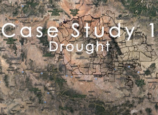
On the Navajo Nation, it is essential to monitor drought conditions as they progress in order for water managers to mitigate issues of water availability. In this drought case study, we demonstrate how to the use DSET to:
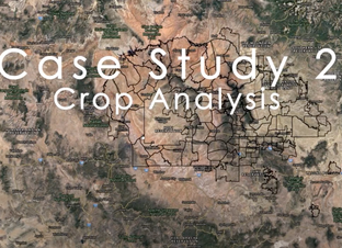
Agriculture on the Navajo Nation is essential for the economy and for domestic and cultural activities. The Navajo Nation manages over 212,000 acres of farmland that produce $92 million of agricultural products each year. In this crop-analysis case study, we demonstrate how to the use DSET to:
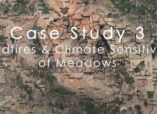
On the Navajo Nation, meadow ecosystems are important for carbon and nitrogen storage, mediation of surface water flow, recharging of groundwater, sediment filtration and can also serve as natural refugia for local plant and animal species. Meadows depend on the supply of water through the water table, but also rely on surface water from springs and seeps as well as precipitation. They are therefore highly vulnerable to changes in hydrological regimes associated with wildfires and climate change.
DSET can help water managers gain a better understanding of the impacts and changes to meadows.
In this meadow case study, the tool is used to:
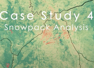
Snowpack in the Navajo Nation melts into streams to support vegetation and wildlife. Given the importance of precipitation in this semi-arid to arid landscape, drought conditions and a changing climate are a real concern that can impact the availability of water.
In this snowpack case study, DSET is used to: