Overview
VIRGO – Visualization of In-situ and Remotely-Sensed Groundwater Observations – is a new online mapping tool from NASA that enables water managers and end-users to explore groundwater changes in California.
VIRGO visualizes data from a variety of sources – in-situ wells and GPS stations as well as remotely-sensed gravity and InSAR (interferometric synthetic aperture radar) data – to enable groundwater trends to be assessed. By bringing together both satellite and in-situ data, VIRGO offers deeper context to NASA’s data and makes it possible to do complimentary analysis and comparison.
The tool displays trends in groundwater over management districts called Groundwater Sustainability Agencies (GSAs). California’s 2014 Sustainable Groundwater Management Act (SMGA) established GSAs as part of a new approach to managing the state’s groundwater at the local level by local agencies. Satellites can see the spatially-distributed impacts of changing groundwater levels within GSAs, namely the associated changes in water storage and displacement in the ground’s surface.
Why VIRGO?
Groundwater and California
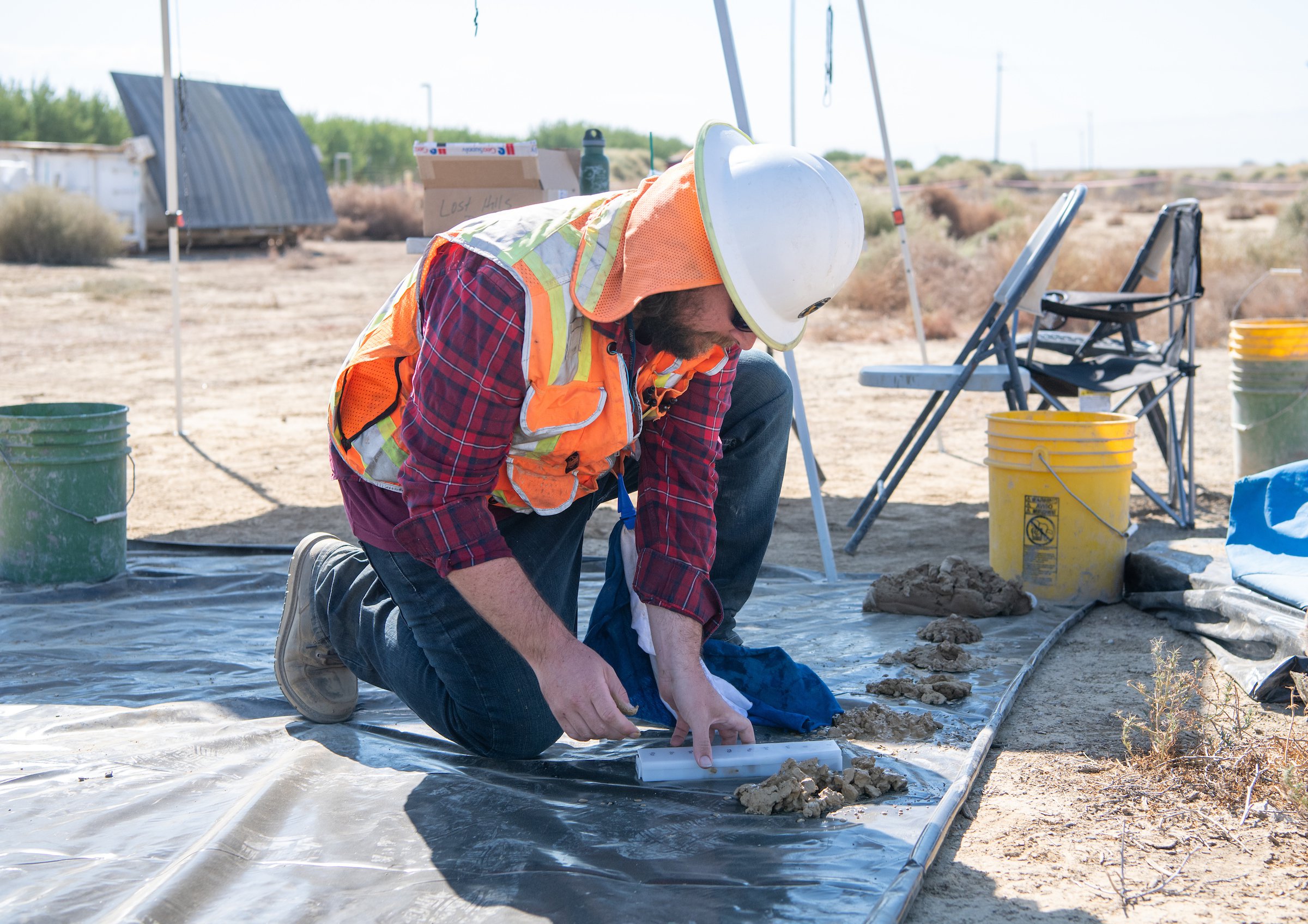
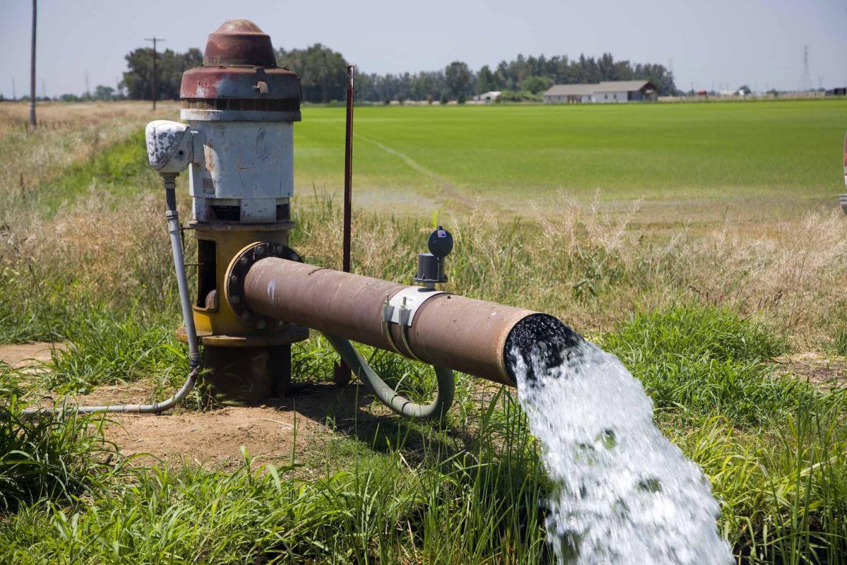
Groundwater is found in the earth beneath our feet, in spaces between sand, soils and fractured rock known as an aquifer. In an average year, California's groundwater contributes approximately 38 percent toward the state's total water supply. During dry years, groundwater contributes up to 46 percent (or more) of the statewide annual supply, acting as a critical buffer against the impacts of drought and climate change. Many municipal, agricultural and disadvantaged communities rely on groundwater for up to 100 percent of their water supply.
Water fuels the economy of California, with groundwater a critical part of that supply. The Central Valley region produces over 250 different crops worth $17 billion per year [L.A. Times, 2012]. This represents half the gross national market for fruits, nuts and vegetables. But the American West is in the grip of an exceptional drought. Following some of the planet’s warmest years on record, and with rainfall and snowfall in the western U.S. well below average, water managers have to find a way to manage diminishing supplies more sustainably.
The Sustainable Groundwater Management Act (SGMA)
In 2014, California Governor Jerry Brown signed into law a three-bill legislative package. SGMA requires GSAs to halt overdraft and avoid excess depletion, including the mitigation of subsidence caused by overdraft. Sustainability plans need to be in place by 2020 to 2022 for critical basins. Each management region is responsible for conducting its own modeling studies, with support from the California DWR.
VIRGO’s Groundwater Maps
We have several distinct observations of groundwater in the western U.S., but it is a challenge to get this information into the hands of water managers in useful ways. VIRGO was built to solve this problem, by providing the GSAs with an accessible snapshot of groundwater in the Central Valley of California.
VIRGO:
- Offers a more accurate groundwater scenario analysis;
- Helps water managers enable compliance with SGMA;
- Provides a route by which the California Department of Water Resources can disseminate groundwater information to the GSAs.