NASA Training on Coastal/Estuarine Water Quality

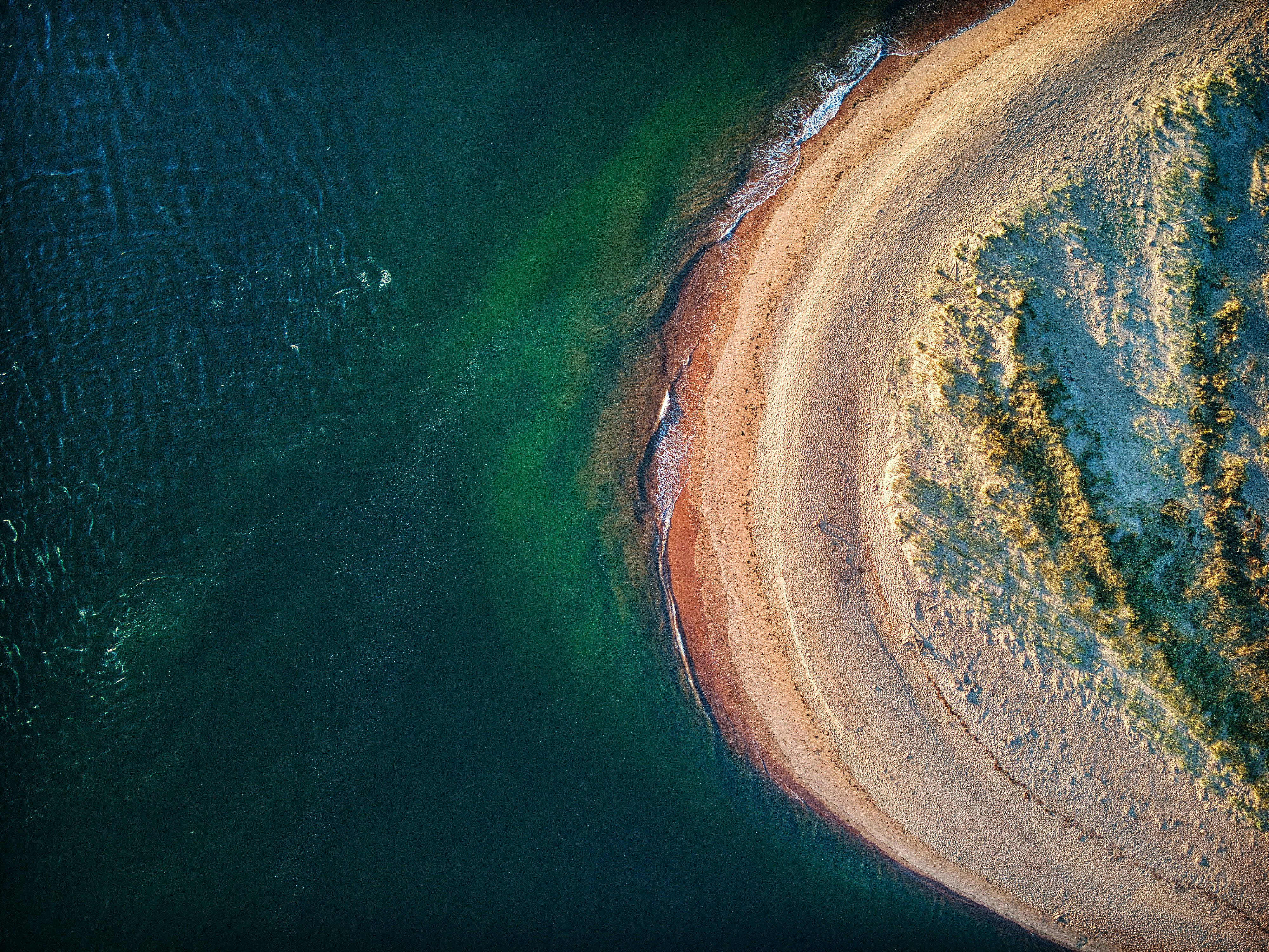
Photo by Red Zeppelin from Pexels.
From September 14 to September 21, 2021, NASA’s Applied Remote Sensing Training Program (ARSET) is offering a Monitoring Coastal and Estuarine Water Quality webinar as part of its effort to train, empower and advance.
ARSET offers online and in-person trainings for beginners and advanced practitioners alike. Trainings cover a range of datasets, web portals and analysis tools, and attendees learn how they can be used in air quality, agriculture, disaster, land, and water management. Since 2009, the program has reached over 50,000 participants from 170 countries and more than 8,500 organizations worldwide.
The Monitoring Coastal and Estuarine Water Quality webinar is one of a regular series of offerings that can help water managers make use of remote-sensing data. By the end of the training, attendees will be able to:
- Identify recent satellite data useful for water quality monitoring;
- Process MODIS and VIIRS images using SeaDAS to get water quality parameters;
- Monitor water quality in selected coastal and estuarine regions.
Sign up for the course and learn more here.
Course background
Estuaries are water bodies where freshwater from rivers and streams meets with seawater. Coastal and estuarine waters are important to humans as they are highly productive habitats supporting a variety of fish and wildlife. These environments also provide resources, economic benefits, and ecosystem services. That being said, the water quality of these coastal and estuarine areas is of great importance. This is heavily influenced by the flow of nutrients and sediment from land-based sources. The flow of nitrogen and phosphorus in particular enhances algal bloom and hypoxia in the water, highly affecting benthic creatures like fish, shellfish, and crustaceans. Water quality in estuaries also depends on several factors such as their size, location, coastal land use, quality of freshwater runoff, and tidal effects from the sea.
Remote sensing observations from Aqua/MODIS have enabled us to monitor coastal and estuarine water quality since mid-2000. As MODIS nears the end of its mission, it is important to transition to VIIRS (first launched in 2011) to provide continuity with the MODIS instrument and add to the moderate-resolution, long-term data record of water quality monitoring in estuaries. This intermediate-level webinar will provide an overview of recent satellites and sensors used for extending the MODIS long-term water quality time series, specifically focusing on VIIRS image processing using the NASA Ocean Color software, SeaDAS. This webinar will point out similarities and differences between MODIS and VIIRS and demonstrate water quality monitoring procedures using these sensors in selected coastal and estuarine regions.
Prerequisites