GPM Mission Celebrates Ten Years of Observing Precipitation
On February 27, 2014, the four-ton Global Precipitation Measurement (GPM) Core Observatory spacecraft launched aboard a Japanese H-IIA rocket from Tanegashima Space Center in southern Japan.
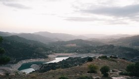
How Cities Run Dry
Rivers, lakes, and reservoirs long strained by overuse now face climate change. Some cities are turning to water restrictions to get back on track.
Improving Seasonal Water Predictions Using a Machine-Learning River Forecast System
A WWAO collaboration has published a new paper on how to use next-generation satellite snow data to improve seasonal water supply forecasts using machine learning.
How Business and Government Might Solve the Freshwater Crisis Together
Does the public sector need the private sector’s help to address the freshwater crisis?
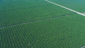
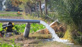
Field-Scale Crop Water Consumption Points to Potential Water Savings in Agriculture
Using remote-sensing data and machine learning, a team from NASA and beyond finds that switching to lower-intensity crops can reduce water consumption in California’s Central Valley by 93%, but this requires adopting uncommon crop types.
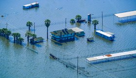
California Zombie Lake Turned Farmland to Water. Is it now Gone for Good?
Resurrected for the first time in decades by an epic deluge of winter rain and snow, by spring the lake covered more than 100,000 acres, stretching over cotton, tomato and pistachio fields and miles of roads.
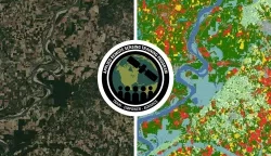
New NASA Training on Using Machine Learning to Help Build Agriculture Solutions
Remote-sensing data is becoming crucial to solve some of the most important environmental problems, especially those related to agricultural applications and food security.
OpenET Study Helps Water Managers and Farmers Put NASA Data to Work
As the world looks for sustainable solutions, a system tapping into NASA satellite data for water management has passed a critical test.
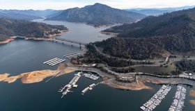
Groundwater Levels Around the World Are Dropping Quickly, Often at Accelerating Rates
Rapid declines are most common in aquifers under croplands in drier regions, including California, the most extensive analysis of groundwater trends so far shows.
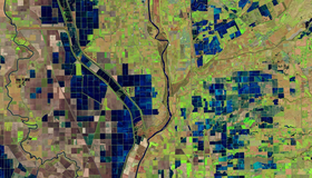
Addressing Groundwater Overdraft in the Sacramento Valley
Though the Sacramento Valley has relatively abundant surface-water supplies, groundwater is also key for many of its communities and farms.