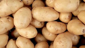
Idaho’s Potato Belt
Almost one-third of American potatoes are grown in the Snake River Plain, a belt of low-lying land in the southern part of the state.

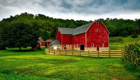
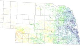
Measuring Groundwater Overdraft in the Sacramento Valley
Much recent attention towards groundwater sustainability has focused on the heavily overdrafted San Joaquin Valley. However, the Sacramento Valley also needs to bring its groundwater basins into balance and avoid significant undesirable results of pumping.
NASA-Related Effort Helping Ensure New York Water Quality
A new project involving Columbia University, New York City and NASA scientists will build a climate action plan to reduce the impact of climate change on New York's water supply, and ensure the agricultural sector continues to protect the city's water quality.
Satellites Show Uptick in Cover Cropping on Farms
Big ag can be hard on the planet, with land often left barren between planting, leading to erosion of top soil. New results show farms in the U.S. Midwest are increasingly planting cover crops, benefitting the environment in a myriad of ways.
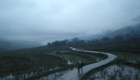
Science for a Rainy Day
The NASA/USAID SERVIR program is helping Asia adapt to changing rainfall patterns.
NASA's New Water Use And Crop Yield Simulator
NASA has co-launched a new modeling framework for assessing water use and estimating crop yields at regional levels. GEO-CropSim integrates Earth observations into crop models to help decision makers manage crop production while analyzing water use.
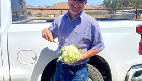
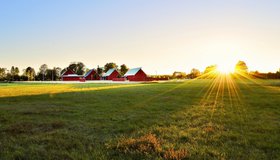
Keeping America's Salad Bowl Full
In seasons when water is scarce, tools powered by NASA data can help farmers decide where to allocate water and nutrients for irrigation and fertilizer.

WWAO Passes Baton to U.S. Dept. of Agriculture
We have liftoff! NASA WWAO's new Soil Moisture Data System is operational and has been handed off to its partner, the U.S. Department of Agriculture, as the project comes to a close.
New Partnership to Support Sustainable Agriculture
NASA’s Harvest program and soil analytics company CropX have announced a new partnership. The alliance will provide farmers and industry experts with insights that help improve farming sustainability by conserving resources and improving crop yields.

From Space to Farm
Farmers rely on the Landsat satellite to make decisions about crops, with far-reaching implications that can impact what we see on our dinner plate. In this curious video, Landsat's view of crops from space can be heard in the form of music.