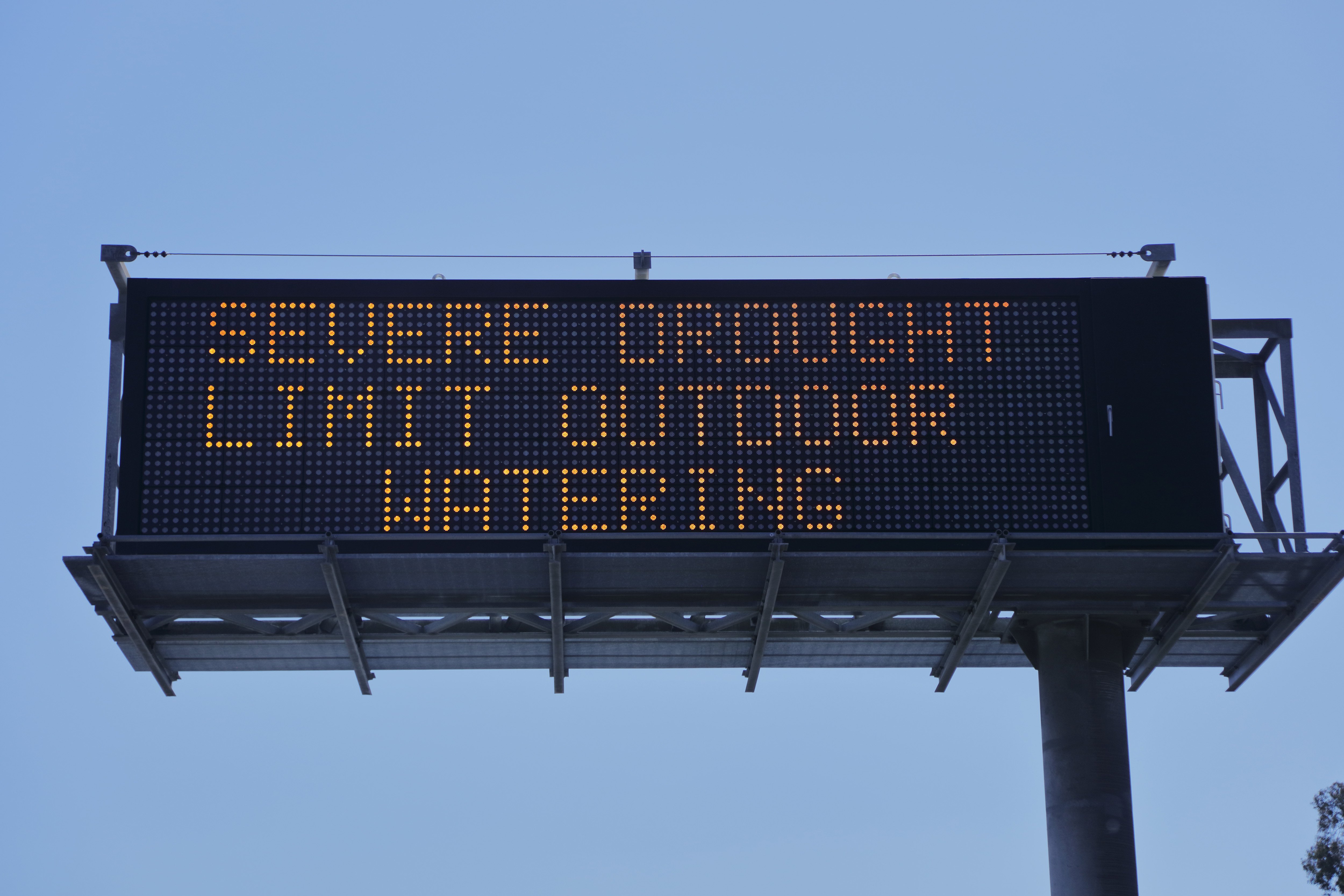
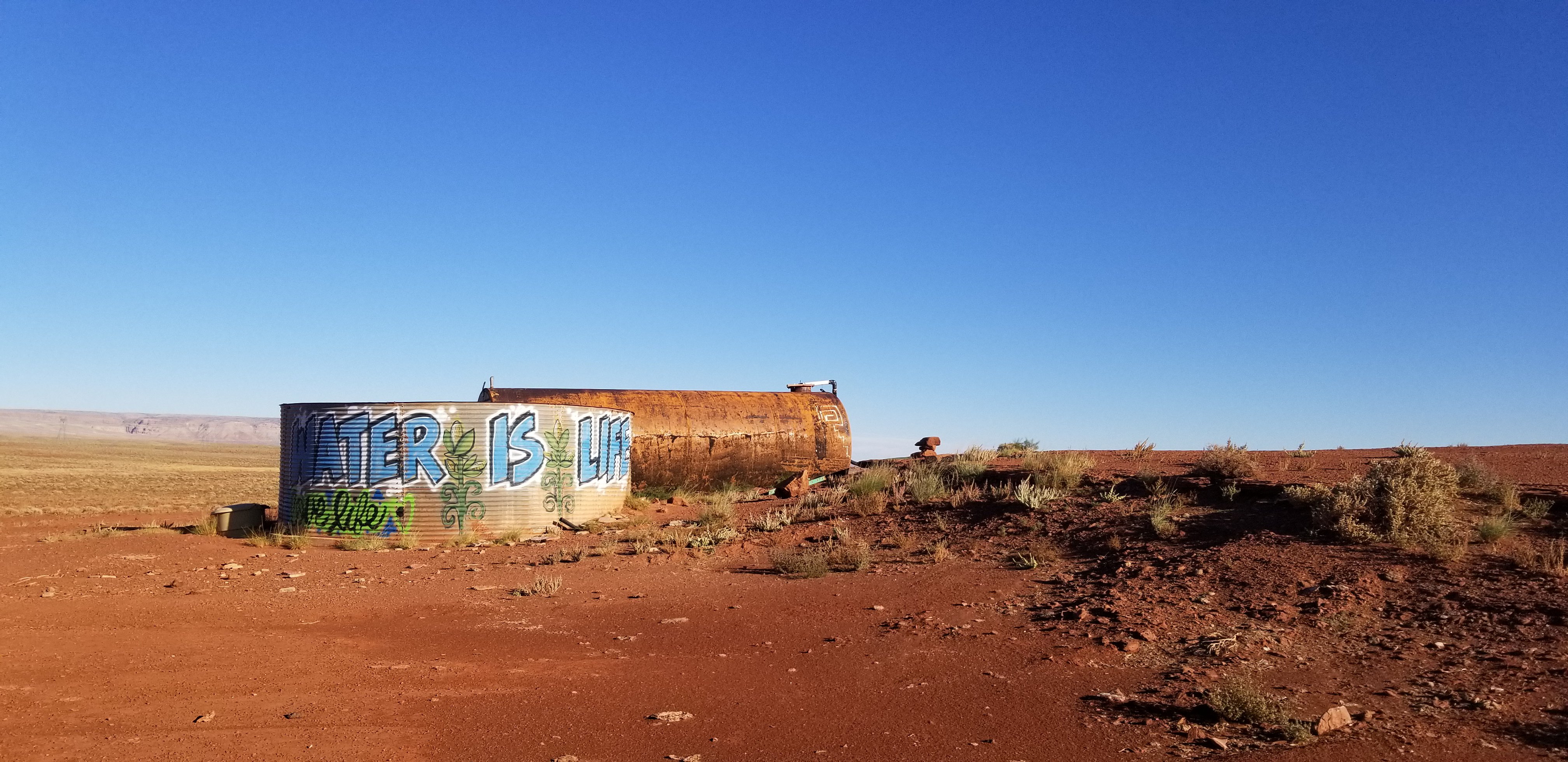
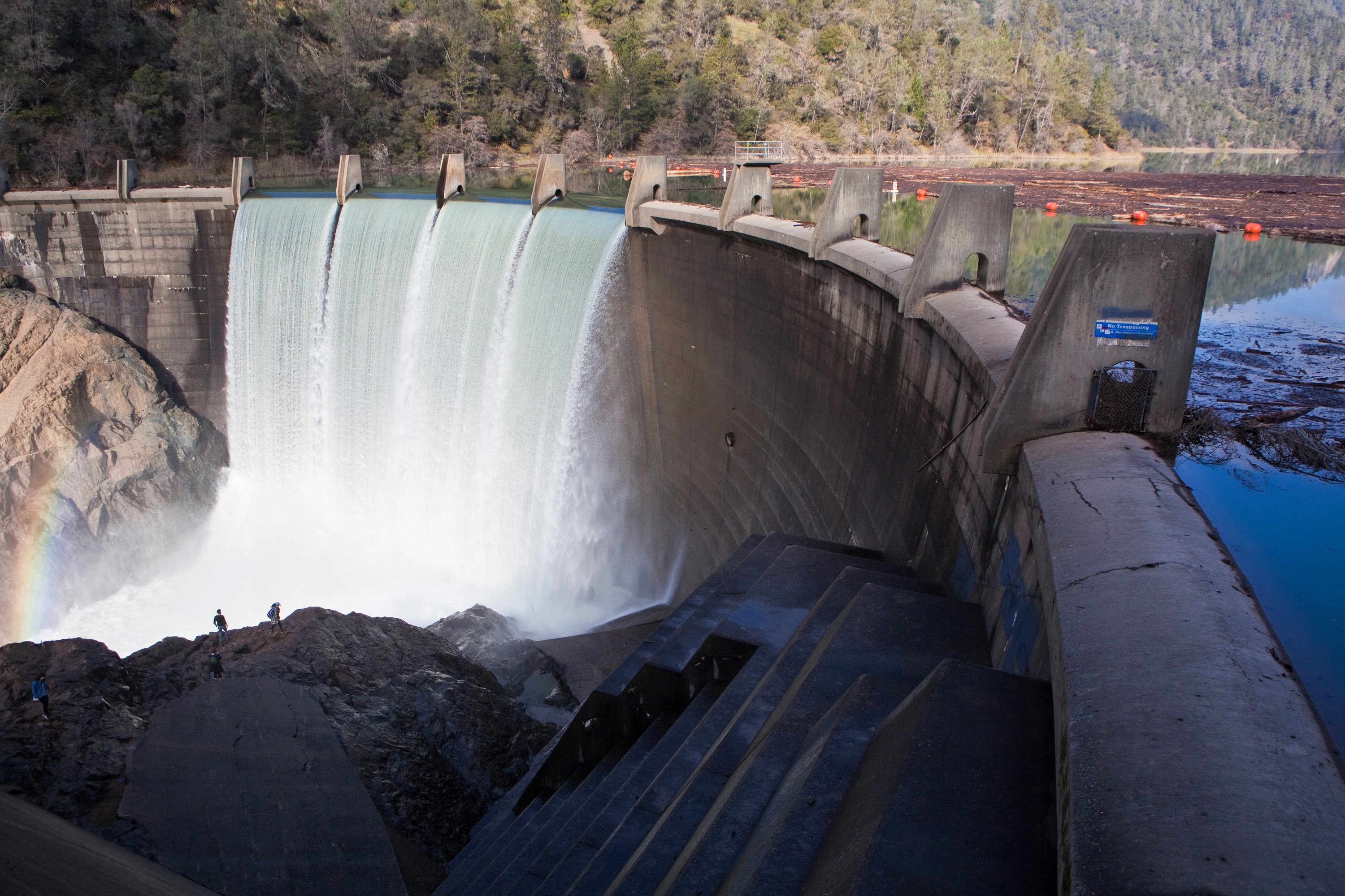
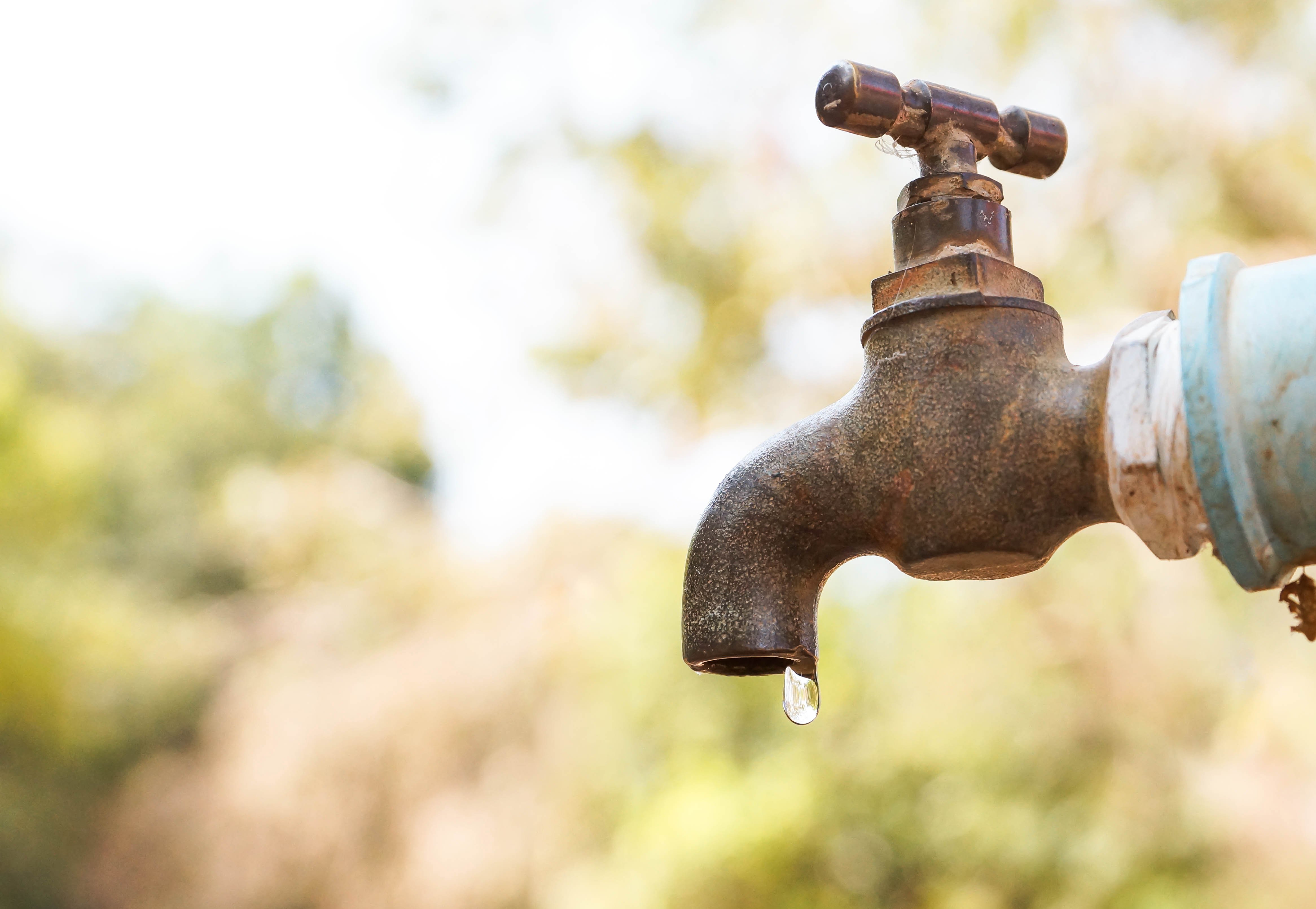
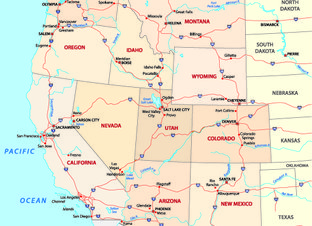
The American west is in the grip of an exceptional drought. Following one of the planet’s warmest years on record, and with rainfall and snowfall in the western U.S. well below average, scientists and government agencies are watching for diminished water resources and potentially devastating wildfires.
How do water managers maintain and manage water supplies in the face of such dry, hot times? Decision makers need:
NASA is helping address all of these issues with its eyes on the drought – satellites, aircraft missions, and computer models. We help farmers, reservoir managers, decision makers and leaders throughout the country to tackle drought and manage increasingly stretched water supplies. Underpinning all of this is our expertise in water science, leadership in space and remote-sensing technology, and experience in building partnerships.
NASA delivers drought tools that use the power of remote sensing to track and monitor drought where and when it is most needed. Better information on drought conditions – specifically drought severity, measures that indicate drought, and climate change – is something states, tribes and water managers throughout the U.S. critically need. NASA’s work in drought science has led to several key tools that enable us to better monitor, track and manage drought.
U.S. Drought Forecasts
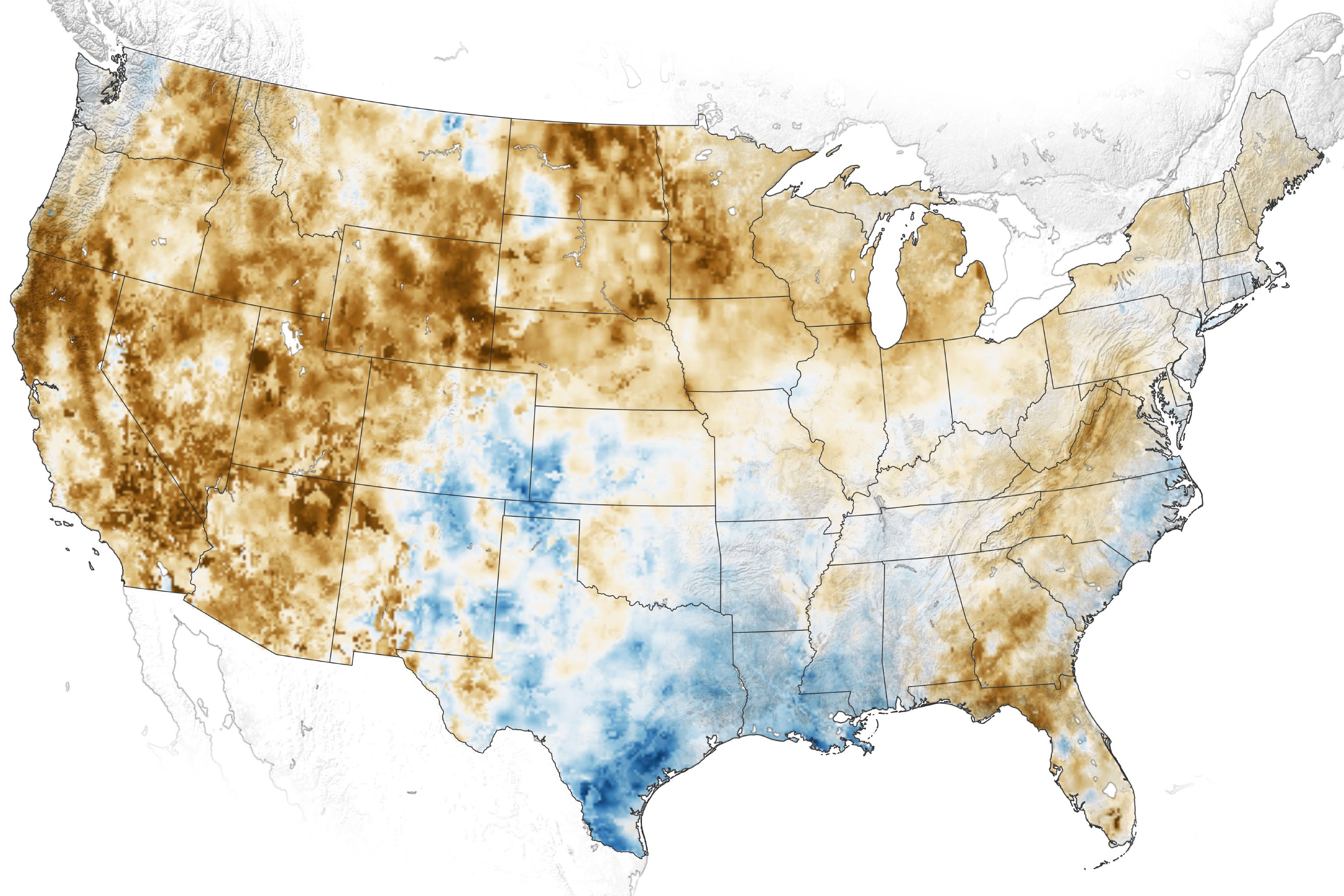
Drought affects many sectors (agriculture, water, energy, human health and ecosystem services), costing the U.S. economy billions of dollars each year. While a variety of drought-monitoring products currently exist, NASA delivers the only products that give snapshots of current and future conditions of groundwater across the nation. Groundwater – the water found underground in the cracks and spaces in soil, sand and rock – is a vital resource that provides about 41% of the water used for crop irrigation in the U.S. and 44% of the drinking water. During drought, groundwater is tapped more heavily due to higher demand for water as well as less rain and water available on the land.
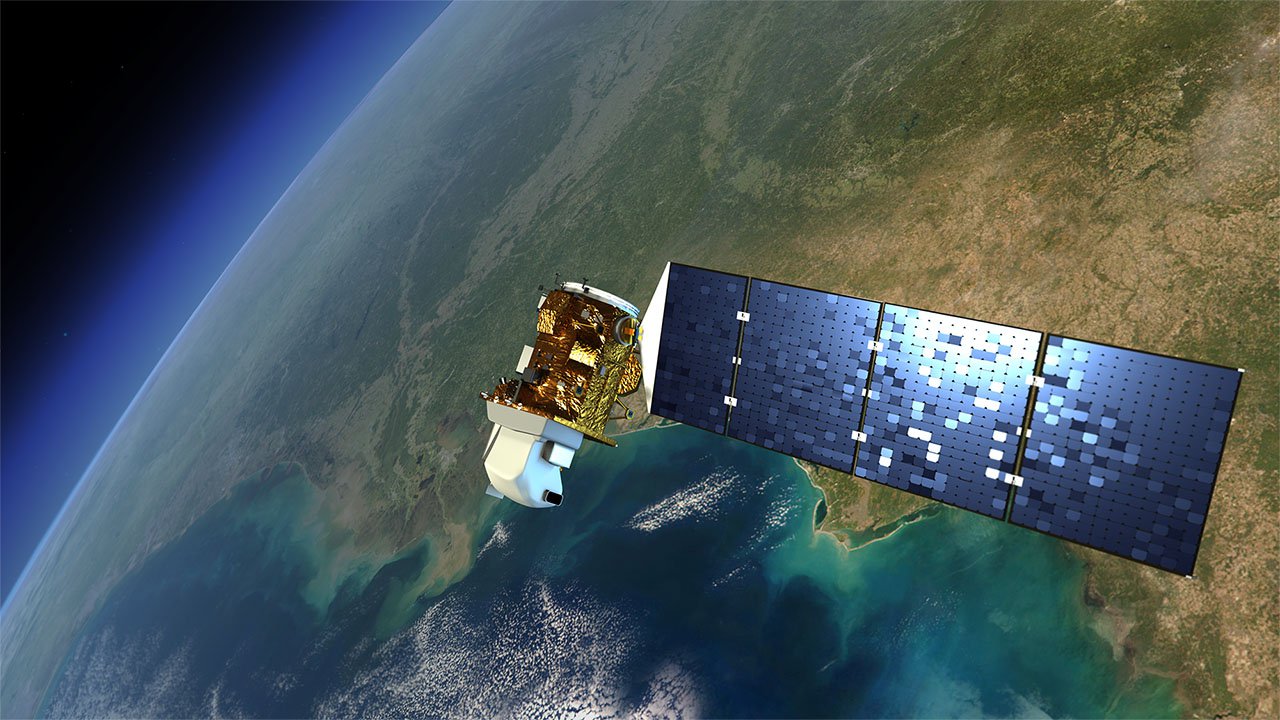
NASA produces its groundwater maps using a sophisticated computer model that combines changes in water storage, as measured by satellites, with long-term weather data. The satellites are NASA’s Gravity Recovery and Climate Experiment (GRACE) and GRACE Follow On missions, and the meteorological data include precipitation, temperature, solar radiation and other measurements from ground and space.
These space-based drought products are updated weekly and served from the National Drought Mitigation Center’s website. The data also serve as useful inputs to the U.S. Drought Monitor (the premier drought monitoring product for the U.S.). Drought forecast products are few, and none currently provide estimates of future groundwater conditions. This work delivers forecasts that allow water managers to anticipate drought 30-90 days away.
Agricultural droughts, especially “flash droughts” that come on quickly, can hit food production and markets hard, leading to significant crop loss and higher grain and food prices. There is a real need, both in the U.S. and worldwide, to have earlier warning of impending drought in order to handle these impacts.
NASA is helping fill this need by delivering direct measures of how much water-stress vegetation and crops are under. Using heat signatures of the land from space, scientists have built an Evaporative Stress Index, which describes changes in evapotranspiration – the total amount of water lost from a crop into the air. The stress index highlights areas with especially high or low rates of water use across the surface of the land in near real-time, giving unique insights into the amount of moisture currently available to vegetation on the ground. Stakeholders receive early warning of potential crop failure, which can be used to mitigate crop losses and mobilize relief efforts where needed.
Many water managers rely on snapshots of key measurements such as groundwater, soil moisture and the amount of water in snow for day-to-day decision making. But understanding how factors that affect water supply change over large areas and longer timescales is critical for long-term planning and managing drought.
NASA’s Western Land Data Assimilation System delivers information about water availability over the western U.S. It uses NASA numerical land-surface models and satellite data assimilation in a configuration that is tailored to the region. The data products offered include independent measures of surface and root-zone soil moisture, snow water equivalent, evapotranspiration, precipitation, runoff, groundwater storage and streamflow. They provide water managers with fine-scale information on key conditions affecting water supplies, helping support identification of drought-hit regions and a local response.
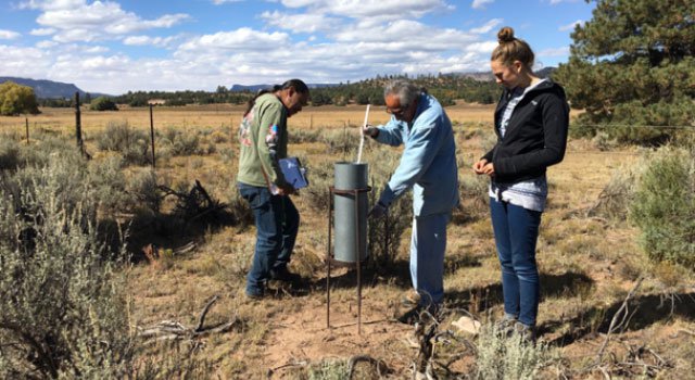
The Navajo Nation is an arid, vast region in the southwest U.S. and the largest federally-recognized sovereign U.S. tribe (by land area). Frequent, pervasive droughts are common, with widely varying rainfall and rising temperatures. Drought emergencies are often declared. In 2018, millions of drought-relief dollars were needed.
In 2020, NASA launched a Drought Severity Evaluation Tool to help the community allocate emergency relief when drought hits. The tool is a web application that pulls in Earth observations and on-the-ground data to produce drought maps for the Navajo Nation Department of Water Resources. This information can help Navajo decision makers improve how relief funds are divided among the Nation’s regions, sending resources where they are needed most.
The Navajo Nation declared a drought emergency in June 2021. Maps from the Drought Severity Evaluation Tool were presented to the Navajo Nation Office of the President and Vice President, the Navajo Nation Washington Office, and the Navajo Nation Commission on Emergency Management to help with the drought response.
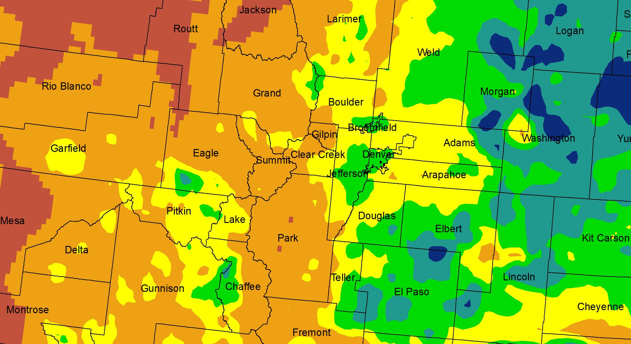
The Colorado Climate Center is charged with monitoring drought over the state and providing weekly updates to the national U.S. Drought Monitor as drought status changes. To do this well, the Center needs a suite of fine-grained drought indicator products. While ground stations are valuable, the complex terrain means that finer gridded data are needed to capture regional variations in drought impact. NASA is using its state-of-the-art Western Land Data Assimilation System to combine its land-surface modeling capabilities with remote-sensing observations to deliver the detailed data Colorado needs. Data on soil moisture and groundwater as well as meteorological information are being developed specifically for this project, and evaluated through weekly drought assessments.
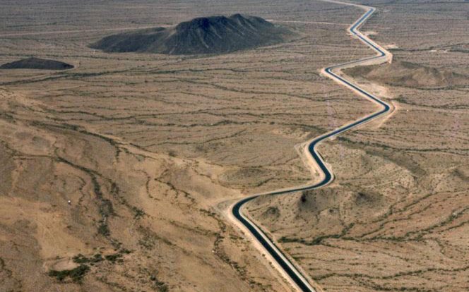
NASA is helping peer into the future of the Colorado River by harnessing the strength of satellite data to predict possible river conditions in the years and decades to come. Working closely with state and local agencies involved in drought planning in the Colorado River Basin, NASA is helping improve long-range scenario planning at the Central Arizona Water Conservation District (CAWCD). CAWCD operates, maintains and plans deliveries for the Central Arizona Project, an aqueduct system vital to Arizona’s economy that transports Colorado River water that is delivered to 80% of Arizona’s population in three counties, including 10 Native American tribes and 17 irrigation districts.
Partners: Range of Colorado River Basin stakeholders including major state agencies; Arizona State University.
“I'm full-blooded Navajo – I grew up on the Navajo Reservation. It is monumental to have an organization like NASA work with us to diversify and augment the water tools we have at our disposal.”
-- Carlee McClellan, Navajo Nation Department of Water Resources
NASA Improves Water-Supply Forecasts
Worldwide, two billion people rely on snowmelt for drinking water, watering crops and washing hands. Similarly, much of the American west’s water supply depends on melted snow from regional mountain ranges. As our planet warms, that snowpack is diminishing and melting earlier and faster in the spring, making it much harder to manage water supplies. NASA’s snow science delivers badly-needed snow data to decision makers, translating into better runoff and streamflow forecasts as well as improved understanding of how much water we can expect from the snow in a given year.
Further downstream from the mountains, NASA is also looking beyond the snow to improve forecasts of the amount of water in reservoirs and rivers.
Eyes on The Snow – From Air
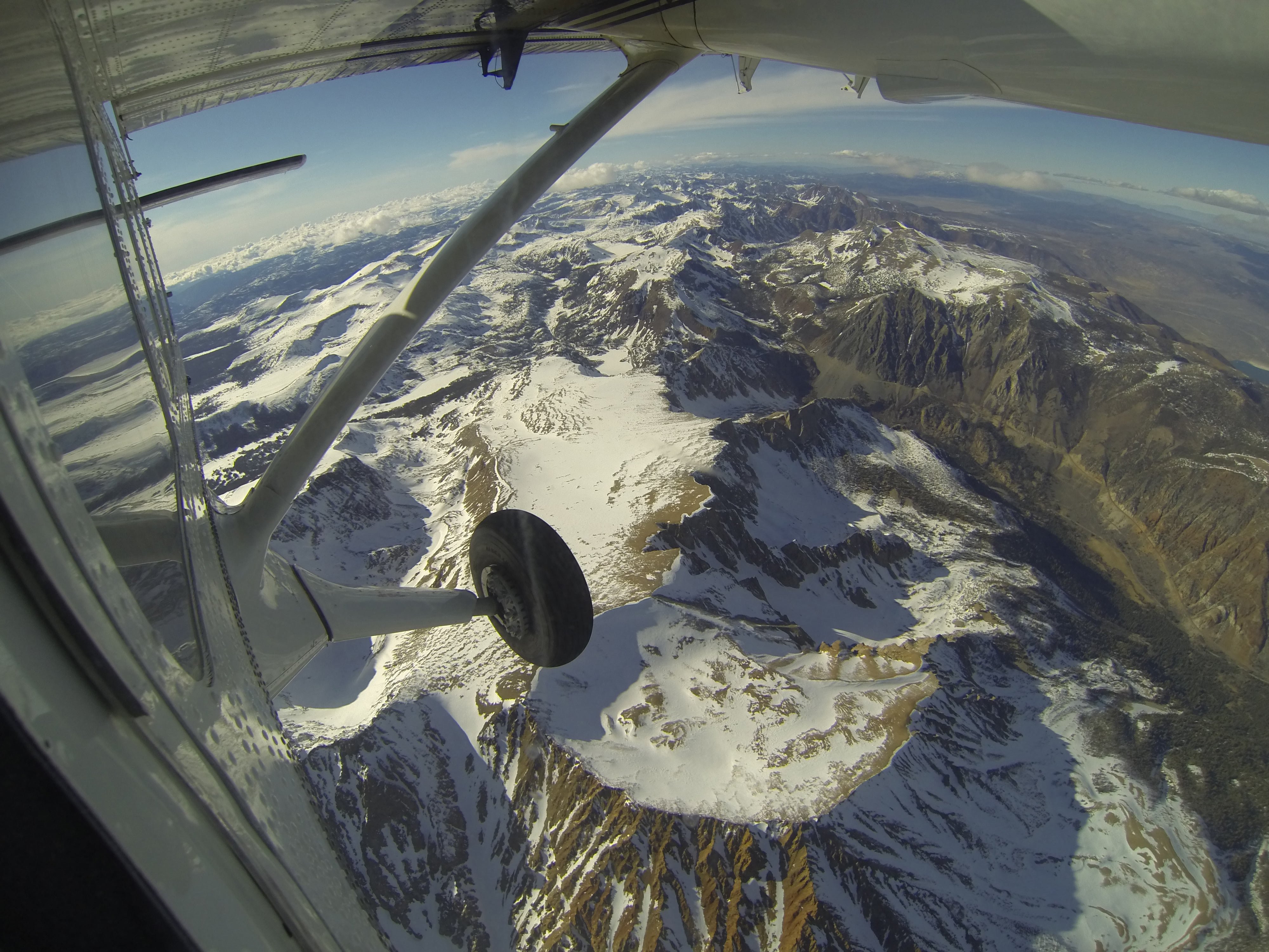
NASA’s Airborne Snow Observatory (ASO), which spun off into a private company in 2019, is changing the game by delivering unprecedented snow data to water managers in the U.S.
ASO flies a plane equipped with lidar and spectrometer instruments over mountains to measure the amount of water contained in the snow beneath, the snow depth and snow reflectivity. In times of drought, this information is critical for water and reservoir managers to understand how much water is in the snowpack, and therefore how much of their needs (such as water allocations, hydroelectric power) will be met by water from melting snow. Knowledge is power, and this new knowledge delivers better flexibility, efficiency and sustainability to U.S. water operations.
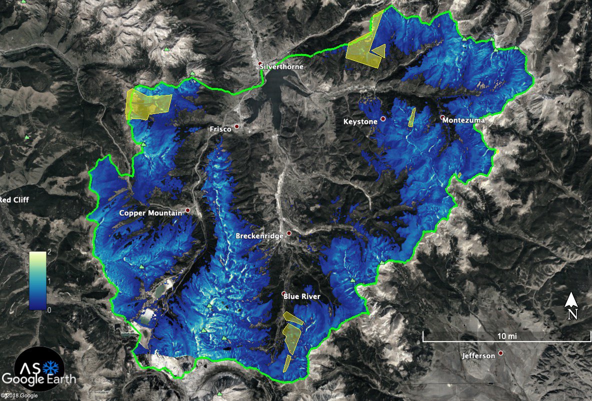
In Colorado, for example, ASO has shown it can give a major boost to 10-day and twice-monthly forecasts of streamflow, which is driven by snowmelt. NASA has helped established paths for ingesting ASO data into some of the key water decision pipelines in the western U.S. What began as a partnership between California’s Department of Water Resources and NASA has grown into a vital effort now funded in part by the U.S. Department of Interior / U.S. Bureau of Reclamation as part of its snow water-supply forecasting program.
Agricultural water users in California’s Central Valley rely on seasonal snowmelt in the Sierra Nevada mountains (approximately 14 million acre feet of water per year) to boost limited groundwater stores. This runoff is stored in reservoirs in the Sierra Nevada foothills and released in summer when demand is highest. Under normal conditions, that storage meets demand and shortages are minimal. But when drought hits, runoff volumes are massively impacted. Agricultural water demand far exceeds runoff and storage, making water shortages much more common.
Water allocation decisions, which heavily impact agriculture operations in California, are informed by forecasts of streamflow volume issued by the California Department of Water Resources (CADWR). Snow Water Equivalent (SWE) – a measurement of the amount of water contained within the snowpack – is a key influencing factor in these streamflow forecasts. Remotely-sensed SWE from sensors onboard NASA's Terra and Aqua satellites can significantly improve forecasts.
This project delivers real-time measures of how SWE varies across the entire Sierra Nevada mountain range in the form of model outputs, tables and maps. The information has been integrated into CADWR's decision-making process, and can help the agency's hydrologists in their daily forecasting operations. The reports and model outputs are also distributed to a growing list of water stakeholders in the western U.S.
Improved Forecasts of Snowmelt Into Colorado River Headwaters
The Colorado River, fed primarily from snow melting out of the Rocky Mountains, is referred to as the ‘lifeblood’ of the American west because it supplies water to seven western states and Mexico. With increasing populations and shifting snowmelt patterns, it is more important than ever to accurately forecast the timing and amount of snowmelt from the Colorado River headwaters.
NASA is helping tackle this problem. Using satellite data from NASA and NOAA, and a cutting-edge snow-melt model, this project is working to produce more accurate maps of snow-covered areas, the amount of water in the snowpack and streamflow. The information is being incorporated into decisions made by the Colorado River Basin Forecast Center (CBRFC) and used to improve runoff forecasts for the entire basin.
Texas experiences frequent droughts, and reservoirs are critical for managing the state's water supply. Reservoir operators in Texas need better predictions for reservoir inflow, which means they require better handles on precipitation and water loss (by evaporation from the land) before it gets to the reservoirs.
Using the combined power of satellites, ground sensors and models, NASA is helping reservoir operators improve these predictions. By delivering the latest precipitation data as well as real-time estimates of soil moisture, and folding them in to the prediction systems used by the U.S. Army Corps of Engineers and Texas river authorities, water forecasting on the ground will become more powerful.
"We value the partnership with NASA and the ability of their remote-sensing resources to integrate data over large spatial scales, which is useful for assessing drought impacts."
- Jeanine Jones, Interstate Water Resources Manager, California Department of Water Resources
NASA Improves Water Use
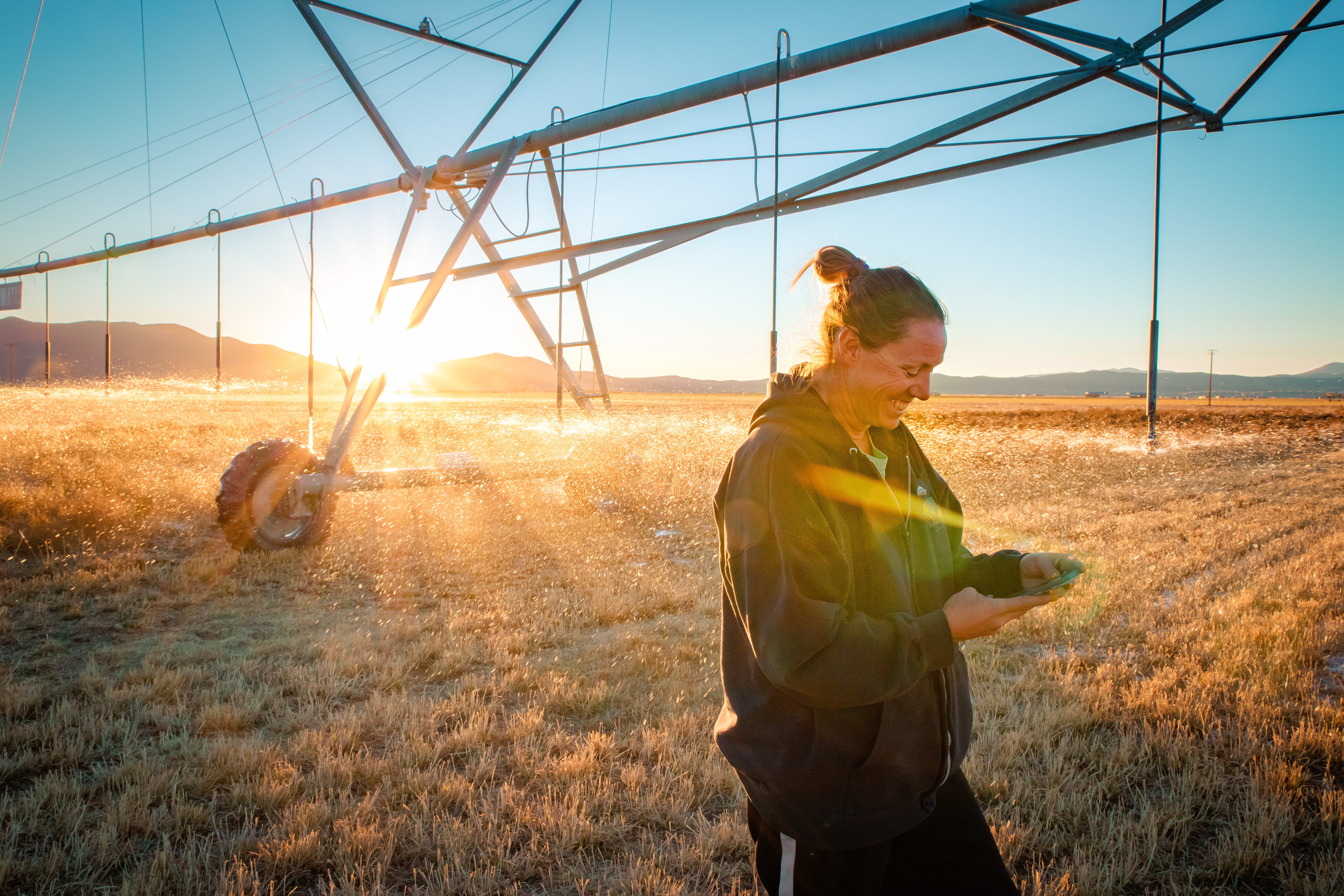
Where water flows, food grows. Since agriculture can be the largest consumer of water in the west, methods to measure and manage agricultural water are a hot topic. At the local level, NASA is helping farmers better understand field conditions and conserve water use while preserving crop yields. And at the state level, NASA is helping decision makers firm up their drought responses and water plans.
Tools For Farmers
Tracking Parched Soils
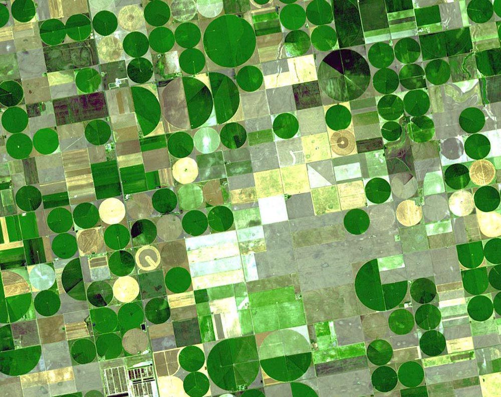
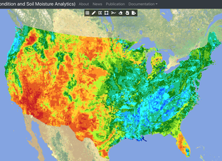
The American west is in the grip of long-term drought. A new soil moisture portal – Crop Condition and Soil Moisture Analytics (Crop-CASMA) – from NASA and the U.S. Department of Agriculture tells us just how dry the soil that grows our food really is.
Crop-CASMA delivers maps showing how soil wetness is changing, and how the amount of water in the top meter (3 feet) of soil compares to normal conditions for the time of year. The maps offer soil moisture information more often (every 2 to 3 days) and on smaller scales (down to the level of towns and counties instead of states) than many other data products. Farmers and water managers can use the data to pinpoint water availability, time crop planting and irrigation, forecast yields, and track droughts (and floods).
Growers and water managers in California and other western states are concerned about the impact of drought on agriculture and the long-term sustainability of water resources. Cost-effective, easy-to-use tools are needed to help reduce the cost of crop production and make the best use of available water supplies by improving farm water-use efficiency (increase “crop per drop”).
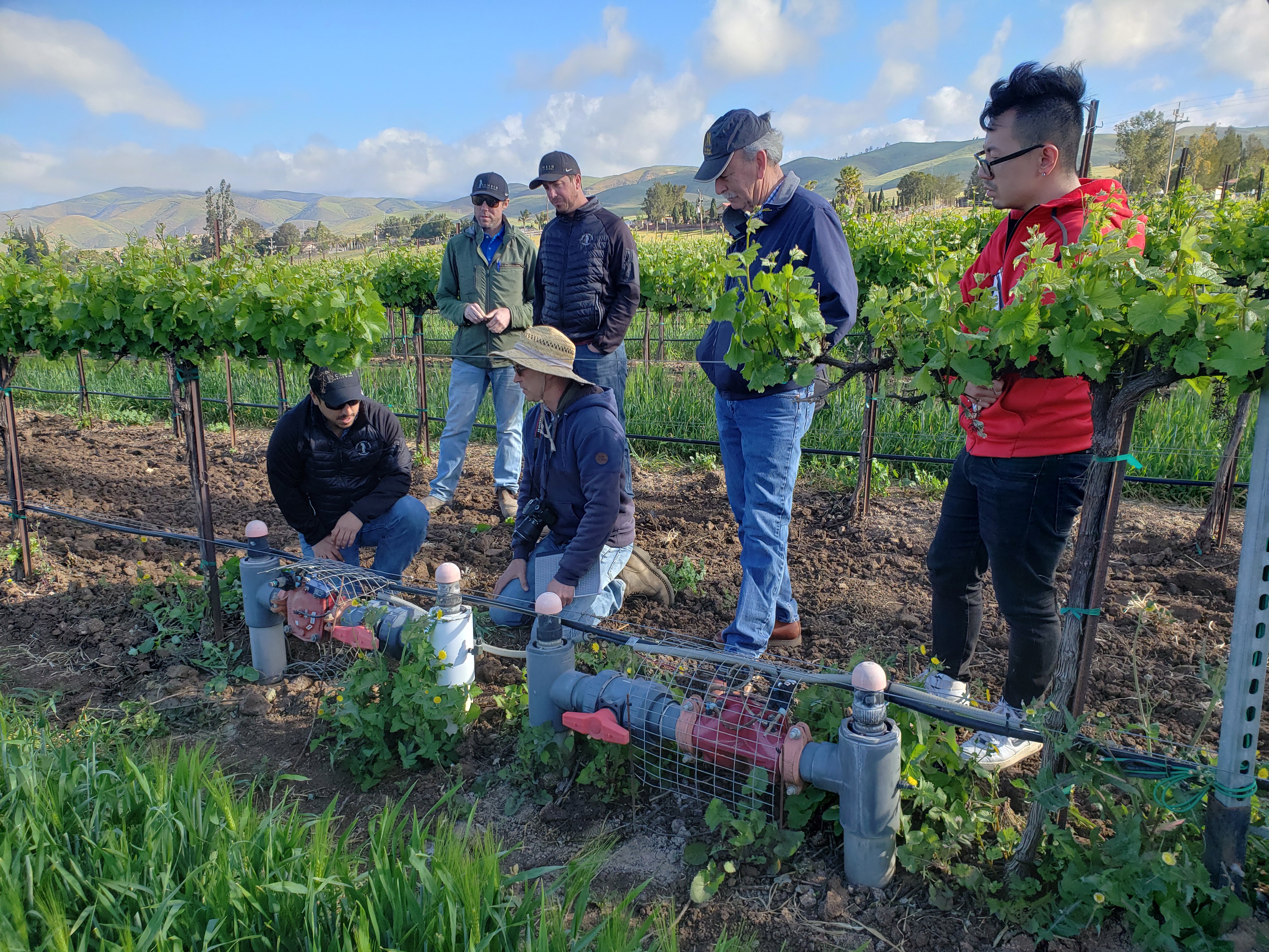
NASA is helping growers optimize their water use by incorporating its satellite data into the CropManage agricultural app, which delivers irrigation and fertilizer recommendations to farmers and irrigators. Working with California State University Monterey Bay and the University of California Agriculture and Natural Resources Institute, NASA is linking space-based observations, supercomputing resources and CropManage to reduce barriers to information access and increase uptake of data-driven approaches to scheduling irrigation and fertilizer use. The project works closely with partner growers to test and validate the data and tools being developed. Demonstrations and field trials are being conducted in collaboration with California growers, but the satellite data and technology can support expansion across the western U.S.
The inclusion of satellite data into the CropManage system results in real water savings. Results for lettuce, broccoli and cabbage show reductions of 20-40% in water used while sustaining crop yields and quality. Tests also show decreases in nitrate leaching, and the team is working to quantify the potential benefits for managing nitrates and water quality in affected watersheds. Based on past studies by the California Department of Water Resources and UC Berkeley, the project anticipates potential benefits to growers ranging from $40 to $400 per acre as a result of improved water and fertilizer management.
"These satellite-derived vegetation condition indices and soil moisture condition maps show first-hand the ever-changing face of U.S. agriculture. They contribute extensively to operations and research on various issues, including agricultural sustainability and extreme weather events, such as flooding and drought.”
- Rick Mueller, Spatial Analysis Research Lead, U.S. Department of Agriculture National Agricultural Statistics Service
Tools For Water Managers
Visualizing Water Use in New Mexico
New Mexico needs comprehensive, timely information on water use and drought conditions. These data are used to help guide state-level water priorities and are disseminated to other state agencies to help in decision making. NASA is building a visualizer for the New Mexico Office of the State Engineer to deliver meaningful records of Evapotranspiration (ET). ET is the total amount of water lost from a crop into the air, and involves both evaporation from the ground as well as transpiration (loss of water) from a plant’s stems and leaves. ET is emerging as a key tool for monitoring water use, and NASA’s capabilities could enable game-changing decision tools on this front. ET records enable the state to make more informed decisions on water-rights transfers, analyze historical water use and provide key input to the state’s Water Plan.
Agricultural Water Use in The Colorado River Basin
Water managers need estimates of water use to determine water shortages, administer water rights, calculate water budgets, and for use in reporting and long-term planning at the state level. NASA is helping develop a better understanding of how different estimates of water use (ET) compare within the Upper Colorado River Basin.
The goal is to determine a consistent approach that can be used by all states in the basin and by the U.S. Bureau of Reclamation to measure water use. Different satellite-driven computer models of ET exist, but some are better suited to particular regions and vegetation types than others, and the Colorado River Basin is a varied landscape. Having a transparent, consistent and fully vetted approach that all partners in the Colorado River Basin agree on will be a paradigm shift and lead to significant downstream improvements in the use and management of water in the Upper Colorado River Basin.
Lead scientist:Dr. Chris Hain, NASA Marshall Space Flight Center.
OpenET
Accurate, field-scale information on ET is one of the biggest data gaps in water management. OpenET uses the best-available science to provide easily-available satellite estimates of ET to help improve water management across the western U.S. Developed through a unique public-private partnership that includes NASA, the OpenET platform makes satellite-based ET data widely accessible to farmers, landowners and water managers.
The value of OpenET’s information is being demonstrated through many use cases that are focused on:
developing more accurate water budgets;
expanding innovative management programs that ensure adequate supplies of water for agriculture, people and ecosystems;
support for water trading programs that protect the financial viability of farms during droughts while ensuring that water is also available for other beneficial uses;
expansion of ET-based irrigation practices that maximize “crop per drop” and reduce fertilizer and water costs.
“Reliable water data is almost as critical to farmers and water managers as the water supply itself. With added pressure from population growth and the uncertainty that climate change impacts have on existing and future water supply, OpenET allows planning for agricultural water needs in a way that just wasn’t possible before.”
- E. Joaquin Esquivel, Chair, California State Water Resources Control Board