
January 2026 | November 2025 | October 2025 | September 2025 | August 2025 | July 2025 | June 2025 | May 2025 | April 2025 | Nov 2024 | Oct 2024
WWAO's "Connecting the Drops" webinar series builds and strengthens bridges between water scientists and decision makers. These conversations pair diverse voices from the water community through two short talks followed by a brief Q&A session.
Explore our webinar content below that showcases some of the impactful work and exciting projects being undertaken in the Western U.S. and amongst WWAO’s partners.
To learn about upcoming webinars, subscribe to our mailing list here or email us at Nasa-wwao@jpl.nasa.gov.

Laura Taylor, Postdoctoral Fellow, National Bureau of Economics; Lecturer with Department of Environmental Science and Policy, Rosenstiel School of Marine, Atmospheric and Earth Science, University of Miami
Laura Taylor is a postdoctoral fellow at the National Bureau of Economics and also a Lecturer with the Department of Environmental Science and Policy at the Rosenstiel School of Marine, Atmospheric and Earth Science at the University of Miami. Laura specializes in natural resource and environmental economics, economic history, and law and economics. Her research includes empirically studying the development and impacts of laws and institutions on environmental and economic outcomes, particularly focusing on water use and management in the American west.

Dan McEvoy, Associate Research Professor at Desert Research Institute, Regional Climatologist at Western Regional Climate Center
Dr. McEvoy is a researcher in the Division of Atmospheric Sciences at the Desert Research Institute (DRI) where his primary focus is drought, snowpack, and mountain hydroclimate dynamics in the Western US. The Western Regional Climate Center (WRCC), one of six NOAA funded centers across the US, is housed at DRI and Dan serves as the Regional Climatologist. His work for the WRCC includes climate services, communication, and outreach, and oversight and development of user-inspired web tools to access and visualize climate data.
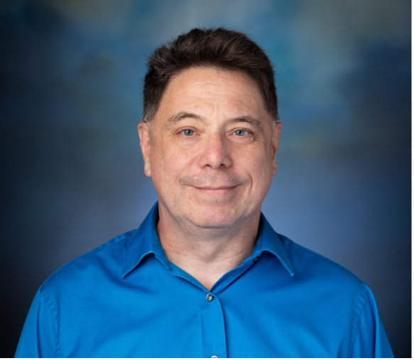
Mike Anderson, State Climatologist for California
Michael Anderson is the State Climatologist for California, a collaborative position between the State and the National Oceanographic and Atmospheric Administration to provide climate data services for the state. Michael began working in the Department of Water Resources Division of Flood Management (DWR-DFM) Forecasting Section in July 2005 and became State Climatologist in 2007. Currently Dr. Anderson works in the Director’s Office of the Department of Water Resources providing technical knowledge and advice for climate resilient resources management.

Jon Meyer, Assistant State Climatologist: Utah Climate Center; Research Assistant Professor: Utah State University Dept. of Plants, Soils, and Climate
Serving between the USU Climate Science Program and the State Climate Office means Dr. Meyer gets to enjoy a wide range of roles focused on research-to-operations, climate services and science communication. In addition to contributing to the State's drought monitoring and outlook taskforce, Jon’s background and principal interests orbit around numerical weather prediction. He enjoys developing and maintaining a trio of high-resolution numerical forecasting platforms focused on improving Utah and western U.S. forecast guidance spanning weather and climate timescales.

Laurel J. Lacher, PhD, RG Lacher Hydrological Consulting
Dr. Laurel Lacher has owned and operated her own consulting firm, Lacher Hydrological Consulting (LHC), since 2002. LHC specializes in the assessment and modeling of groundwater-surface water interactions, including the effects of pumping, irrigation, and artificial recharge on streams in the arid Southwest. Dr. Lacher has a long history of working with Native American and other rural communities on water supply and water rights issues. Since 2019, she has worked closely Integrated Hydro Systems, LLC in Colorado to develop and use MIKE SHE integrated hydrologic models which require high-resolution temporal and spatial input and calibration datasets. Her recent clients include the Yavapai-Apache Nation, The Nature Conservancy, the New Mexico Interstate Stream Commission, the Middle Rio Grande Conservancy District, The City of Sierra Vista, and the Fort Huachuca military installation in southeast Arizona.

Dev Niyogi, Professor, Department of Earth and Planetary Sciences, Jackson School of Geosciences
Dev Niyogi is the William Stamps Farish Chair Professor and UNESCO Chair for Open Sustainable Innovative Solutions: AI, Water, and Cities. He has a primary appointment in the Department of Earth and Planetary Sciences at the Jackson School of Geosciences, with additional appointments in the Maseeh Department of Civil, Architectural, and Environmental Engineering, Oden Institute of Computational Sciences and Engineering, and LBJ School of Public Affairs at The University of Texas at Austin. He was also a State Climatologist for Indiana and is an Emeritus Professor at Purdue University. Professor Niyogi leads a City-Climate collaborative, where his research team seeks to develop an improved understanding and solutions for cities to manage weather and hydroclimatic extremes. An important feature of the work is developing datasets and tools that are both useful and usable across communities and stakeholders.
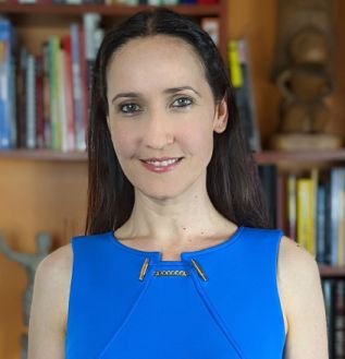
Dr. Mariana Dobre, Research Assistant Professor, Department of Soil and Water Systems, University of Idaho
Dr. Dobre earned a MS in Land and Water Conservation from the University of Bologna in Italy and a PhD in Land, Air, Water Resources & Environmental Engineering from Washington State University. She is currently a Research Assistant Professor in the Department of Soil and Water Systems at the University of Idaho, where she applies hydrology and erosion models to study runoff, sediment, and phosphorus transport from forested ecosystems both before and after wildfires. Dr. Dobre is the co-developer of WEPPcloud, an online decision-support tool for the Water Erosion Prediction Project (WEPP) model, which is used to evaluate how land management practices and disturbances—such as thinning, prescribed fire, and wildfire—affect water resources.
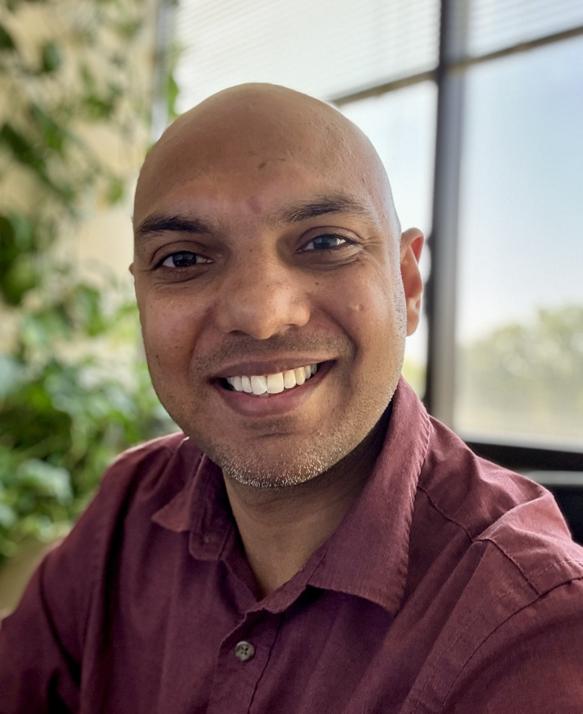
Research Engineer, University of Alabama, Huntsville’s Earth System Science Center
Dr. Vikalp Mishra is a research engineer at the University of Alabama in Huntsville’s Earth System Science Center, where he collaborates closely with NASA’s Short-term Prediction Research and Transition (SPoRT) Center and EarthRISE (formerly known as SERVIR). He holds a Ph.D. in Civil and Environmental Engineering with a focus on hydrology and water resources. Dr. Mishra specializes in critical zone hydrology, remote sensing applications in water resource management, and hydroclimatic extremes. His work advances integrated modeling frameworks that combine satellite and ground observations with biophysical models to improve decision-making in agricultural and water-limited regions. He has played a leading role in the development and application of multiple NASA satellite products particularly related to soil moisture and evapotranspiration. He currently supports efforts in data assimilation, water allocation, and drought preparedness through NASA SPoRT and the Alabama Office of the State Climatologist. With over a decade of experience in satellite-based hydrologic modeling, Dr. Mishra’s research bridges NASA Earth science with stakeholder needs in the U.S. Southwest, Southeast, and beyond.
Communication Strategists, Metropolitan Group (MG)
Paul Tigan and Nick Drushella are communication strategists with Metropolitan Group (MG), a Portland, Oregon firm focusing on helping social purpose organizations like government agencies establish strong connections with their stakeholders, constituents, and (in this case) end users. Focusing on natural resource issues like water in the West, forest management, and building resilient systems, MG collaborates with their clients to create engagement strategies that lead to lasting change. Paul spent 13 years in federal natural resource management before coming to MG; Nick draws on his conflict-resolution training and professional experiences in South Africa, Australia, Indonesia and the U.S. to build effective cross-cultural engagement campaigns and advance organizational missions.
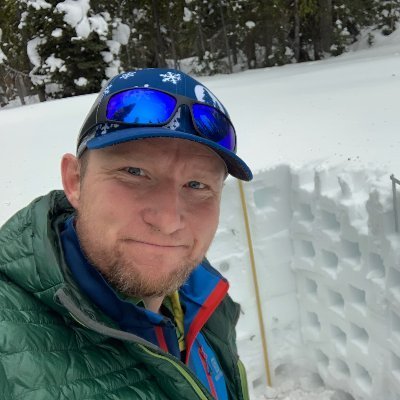
Associate Professor, Boise State University, Department of Geosciences
Hans-Peter (HP) Marshall is a Professor in the Department of Geosciences at Boise State University, and co-Director of the Cryosphere Geophysics and Remote Sensing (CryoGARS) group. HP is a snow scientist and glaciologist who uses geophysics and engineering tools to study the Cryosphere. He received his B.S. degree in Physics from the University of Washington (1999), with a minor in Geophysics, and a Ph.D. in Civil Engineering with an emphasis in Geotechnical Engineering from the University of Colorado at Boulder (2005). His current research is focused on spatial variability in snow and its effect on remote sensing, snow hydrology, and snow avalanches.
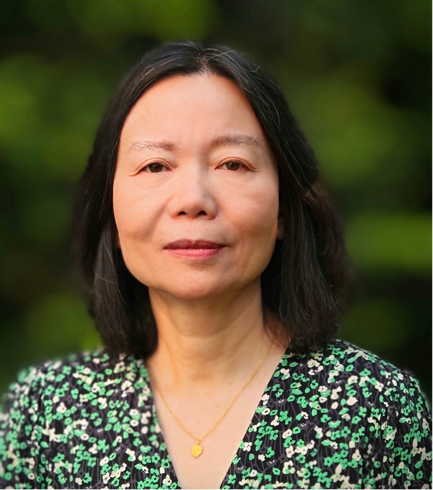
Bailing Li, Associate Research Scientist, Hydrological Sciences Laboratory, NASA Goddard Space Flight Center
Bailing Li is an Associate Research Scientist at the Hydrological Sciences Laboratory of NASA Goddard Space Flight Center, affiliated with ESSIC University of Maryland. At Goddard, she supports the GRACE FO mission and the Famine Early Warning Systems Network (FEWS NET) land data assimilation system. Her research focuses on integrating satellite, in situ and hydrological modeling data to advance understanding of the water cycle dynamics. Her areas of expertise include groundwater modeling, data assimilation and drought monitoring. She is the lead developer of the Global Land Data Assimilation System V2.2 (GLDAS2.2), an operational product that assimilates GRACE/FO data into a land surface model for groundwater estimates and drought monitoring. Bailing holds a PhD in Hydrology from the University of Arizona and is a member of the WWAO’s science team.
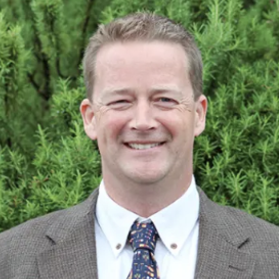
Barney Austin, Adjunct Professor, East Central University and Oklahoma State University, Vice President at Hazen
Barney Austin specializes in water supply planning, hydrology, hydraulics, water availability and flood studies. He has participated in the development of water supply plans in England and the states of Texas, Oklahoma, Louisiana, Indiana, and California, as well as higher-level strategic water resources planning in Morocco and Iraq. Dr. Austin is the former Director of the Surface Water Resources Division at the Texas Water Development Board and has worked for government, academia and consulting firms, successfully bridging the gap between technical and non-technical stakeholders, as well as the private and public sectors. He formerly the President and Chief Executive Officer of Aqua Strategies, Inc. based in Austin, TX, and is now an Adjunct Professor at both East Central University and Oklahoma State University, as well as Vice President at Hazen. He is a Fellow of the Royal Meteorological Society, an honor bestowed upon him following publication of a book on Probable Maximum Flooding.
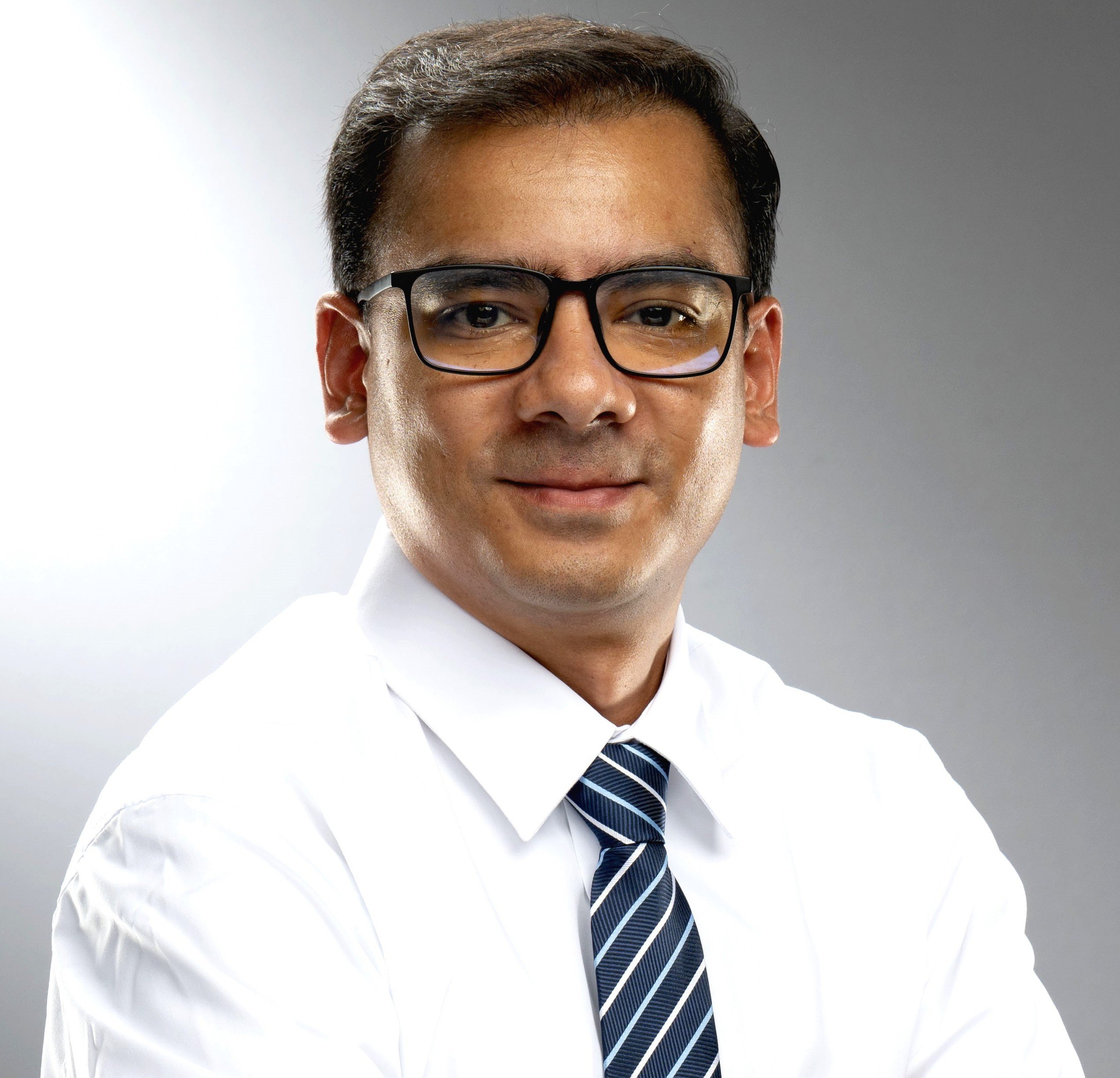
Adnan Rajib, Professor, Director of the Hydrology & Hydroinformatics Innovation (H2I) Lab, Department of Civil Engineering, University of Texas at Arlington
Dr. Adnan Rajib is an Assistant Professor and the Director of the Hydrology & Hydroinformatics Innovation (H2I) Lab in the Department of Civil Engineering, University of Texas at Arlington. Dr. Rajib’s research focuses primarily on global water security with emphasis on AI and data science. His most recent work on human dimensions of water disaster has been featured in Nature Outlook. Dr. Rajib received PhD in Civil Engineering from Purdue University in Spring 2017 with Purdue’s Outstanding Graduate Award and worked as a Postdoctoral fellow at the US EPA Office of Research and Development until 2019.
Jeanine Jones, Interstate Resources Manager, California Department of Water Resources
Jeanine Jones is the Interstate Resources Manager for the California Department of Water Resources. She is a member and past Chair of the Western States Water Council , a Designee on the Colorado River Board of California, and a registered civil engineer in California and Nevada. She has more than 40 years of experience in water resources management.
Cathleen Jones, Senior Research Scientist, Jet Propulsion Laboratory
Cathleen Jones is a Senior Research Scientist at the Jet Propulsion Laboratory in Pasadena, California. Her research is focused on using synthetic aperture radar to identify, monitor, and study natural and man-made hazards, and includes development of methods for tracking and characterizing oil slicks, measuring subsidence in deltas, and monitoring levees, dams, and aqueducts. She is the Science Team Applications Lead for the NASA-ISRO NISAR mission, which will image nearly all the Earth’s land surface every 12 days, providing the data to the public free of charge.

Nikki Tulley, Research Scientist, Capacity Building Program, BAERI/NASA Ames Research Center
Nikki Tulley is a member of the Navajo Nation, an Indigenous Nation located in the United States southwest. She works with the NASA Capacity Building Program and is part of BAERI/NASA Ames Research Center. As an Indigenous Scientist, she recognizes that opportunity to braid Indigenous science and western science together to use Earth Observation satellite imagery to tell a story of the changes being monitored from space and those observed from the landscapes. Nikki's passion is empowering communities through data access and capacity building. She believes that community involvement in research can significantly aid in seeking solutions for resilient and sustainable communities.
Amanda Sheffield, Senior Associate Scientist, University of Colorado Boulder Cooperative Institute for Research in Environmental Sciences (CIRES) affiliated with National Oceanic and Atmospheric Administration's (NOAA) National Integrated Drought Information System (NIDIS)
Amanda is a Senior Associate Scientist at the University of Colorado Boulder Cooperative Institute for Research in Environmental Sciences (CIRES)affiliated with National Oceanic and Atmospheric Administration's (NOAA's) National Integrated Drought Information System (NIDIS). She is a Regional Drought Information Coordinator for the California-Nevada Drought Early Warning System (DEWS), working with partners across all levels of government, academic institutions, and the private sector to improve capacity to monitor, forecast, plan for, and cope with the impacts of drought. She also supports NIDIS on efforts on subseasonal to seasonal forecasting and snow drought as well as drought in Hawaii and the U.S. Affiliated Pacific Islands. Amanda holds degrees in Atmospheric Science from Colorado State University (Ph.D., M.S.) and Purdue University (B.S.).
Renato Frasson, NASA Western Water Applications Office / Jet Propulsion Laboratory
Renato is a scientist in the Water and Ecosystems group at NASA JPL with nearly a decade of experience in using remote-sensing images to track the evolution of rivers and lakes. At JPL, he supports the Surface Water and Ocean Topography (SWOT) mission and the Observational Products for End-Users from Remote Sensing Analysis (OPERA) project. Renato’s areas of research include measuring and estimating river properties and hydraulic characteristics where in situ measurements are unavailable, uncertainty analysis and quantification, and harmonizing data collected by different instruments. Within WWAO, Renato strives to connect stakeholders and potential data users with the right data products, and to remove hurdles that impede the use of remote-sensing information to support decision making. He holds a Ph.D. degree from the University of Iowa and spent eight years at Ohio State University.

Seth Shanahan is the Colorado River Programs Manager for the Southern Nevada Water Authority. In this role, he oversees a variety of environmental programs, sustainability efforts, and climate change adaptation initiatives. He holds a B.S. in Forest Resources from the University of Georgia, Athens, M.S. in Water Resources Management from the University of Nevada, Las Vegas, and is an accredited Senior Ecologist with the Ecological Society of America. His hobbies include volunteering as a ski patroller and snow surveyor.
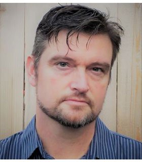
Dr. Sean Fleming, U.S. Department of Agriculture Natural Resources Conservation Service, now Oregon State University
Sean is a geophysicist by training and an applied water, climate, and environmental scientist by profession. He has over two decades of experience in the private, public, and non-profit sectors in several countries, spanning field, technical, managerial, business, and communications roles. Career highlights so far include developing some of the first AI-driven river forecast systems in operational use at governmental service-delivery organizations, discoveries about how glaciers affect the way rivers respond to climate variation and change, writing a general-audience book for Princeton University Press and op-eds for Scientific American and Wired, being invited to talk at the Smithsonian, and volunteering in Mexico, Romania, Mauritania, and wartime Ukraine.
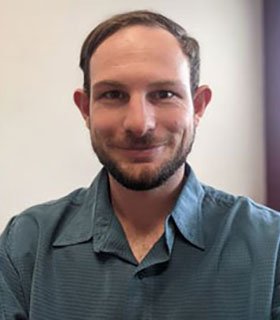
Max Gersh, New Mexico Office of the State Engineer
Max Gersh is a Senior Hydrologist with the New Mexico Office of the State Engineer – Water Resource Allocation Program. Max obtained a Bachelor of Science in Hydrology and Water Resources from the University of Arizona and a Master of Science in Environmental Science and Management from Portland State University where he focused on forest fire effects on snow albedo and snowmelt timing in the Western US. His work experience includes the use of gravity surveys for aquifer monitoring, remote sensing and GIS-based hydrology work, satellite imagery analysis, water rights allocation, groundwater modeling, and surface water/groundwater interactions.