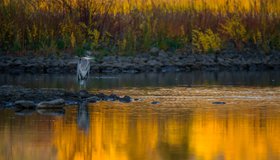
Which Wetlands to Protect? Supreme Court to Decide
The U.S. loses about 60,000 acres of wetlands a year. An upcoming Supreme Court decision could settle which wetlands get federal protection under the Clean Water Act.
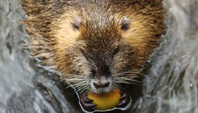
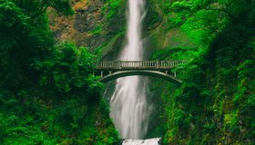
How Water Cycles Can Help Prevent Disastrous Floods and Drought
To prevent devastating droughts and floods, humanity can tune in to natural solutions to repair water cycles disrupted by human development.
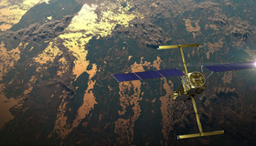
Latest Water Satellite Packs Engineering Punch
Meet the scientific heart of the Surface Water and Ocean Topography mission, which will see Earth’s water in higher definition than ever before.
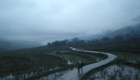
Science for a Rainy Day
The NASA/USAID SERVIR program is helping Asia adapt to changing rainfall patterns.
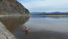
Water Mission to Gauge Alaskan Rivers on Front Lines of Climate Change
The upcoming Surface Water and Ocean Topography mission will provide a trove of data on Earth’s water resources, even in remote locations. Alaska serves as a case study.
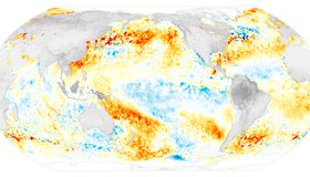
La Niña Times Three
Three consecutive years of La Niña conditions in the eastern Pacific Ocean make it a rare “triple dip” event.

Reaching New Levels in Groundwater Monitoring
As regions around the world face record-breaking droughts, scientists are using seismology to track groundwater levels, showing that well-managed pumping strategies have a big impact.
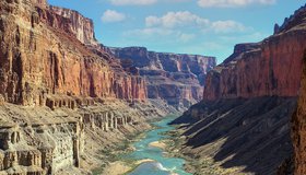
Boost in Drought Mitigation Funding from Inflation Reduction Act
The U.S. Department of the Interior has announced new funding to protect the sustainability of the Colorado River System. $4 billion will be focused on water management and conservation efforts in the Colorado River Basin and other areas experiencing similar levels of drought.
Helping Decision-Makers Improve Water Management
A new study from NASA WWAO and other agency partners sets out a roadmap for how environmental research and stewardship can come together.
Why Don't Rivers Straighten Out Over Time?
Seen from above, the world's greatest rivers can be recognized by their serpentine curves. But how do these shapes form, do they alter over time and does this matter?