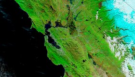
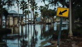
Floodwater Inundates North-Central California
Heavy rain and levee breaches triggered flooding in parts of Sacramento and the Bay Area.
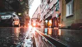
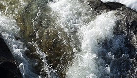
Powerful California Storm Triggers Deadly Floods
An atmospheric river storm caused deadly flooding and mudslides in parts of California, with at least one person reported dead. San Francisco was hit by its second wettest day on record.
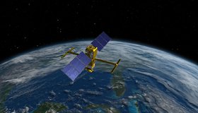
Watch the Latest Water Satellite Unfold in Space
Cameras on the Surface Water and Ocean Topography spacecraft captured the antennas for its main science instrument unfurling in orbit.
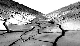
Why Is the Colorado River Drying Up?
There is no historic precedent for today's conditions in the Colorado River. The most severe drought for around 1200 years, climate change and rising temperatures are making it hard to predict the river's future.
Groundwater Replenishes Much Faster Than Thought
A new climate-based model suggests that scientists may be underestimating the importance of groundwater in sustaining streams and plant life.
Satellites Show Uptick in Cover Cropping on Farms
Big ag can be hard on the planet, with land often left barren between planting, leading to erosion of top soil. New results show farms in the U.S. Midwest are increasingly planting cover crops, benefitting the environment in a myriad of ways.
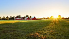
Risk of Flooding in California is Intensifying
Flood risk across California is growing, partly thanks to storms producing more rain than snow. The updated Central Valley Flood Protection Plan plots a path to better flood management and infrastructure, especially in the most vulnerable communities of the Central Valley.
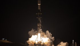
NASA Launches International Mission to Survey Earth's Water
Led by NASA and the French space agency CNES, the Surface Water and Ocean Topography mission will provide high-definition data on nearly all the water on our planet’s surface.
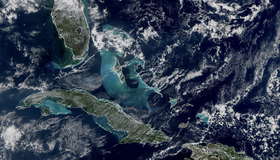
First Images Released From NOAA-21 VIIRS Instrument
Bright blue water in the Caribbean Sea and smog in Northern India appear in the first worldwide image produced with data from NOAA-21’s VIIRS instrument, which began collecting Earth data in December. VIIRS offers global insight into our atmosphere, land, and oceans.
El Niño Varies More Intensely Now Than in Past Millennium
Researchers have found evidence that El Niño is getting stronger in living and fossilized Galápagos corals.