
Funding Available to Support Drought Assessment in a Changing Climate
NOAA's National Integrated Drought Information System is investing up to $4M to support drought assessment in a changing climate.

Navigating the Rapid Rivers of Policy
Scientific data and shared commitments help define new approaches to water management and science communication.
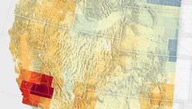
Groundwater Declines in U.S. Southwest
Record snowfall has not been enough to offset groundwater losses amid long-term drying and a heightened demand for the resource.
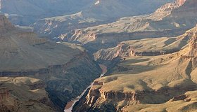
Potential Relief for the Colorado River’s Near Future
Precipitation could boost the iconic river’s flow in the next couple of decades despite the deleterious effects of warming temperatures due to climate change.

Connecting Water Managers to NASA Earth Data
WWAO looks ahead to new Earth data and new relationships with decision makers.

Average is Awesome: California Happy With Latest Snowpack Survey
After years of swinging extremes, state snowpack is at rare average of 110%, setting up good water savings account for year ahead.
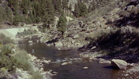
Improving Seasonal Water Predictions Using a Machine-Learning River Forecast System
A WWAO collaboration has published a new paper on how to use next-generation satellite snow data to improve seasonal water supply forecasts using machine learning.

California Mountains Face Weather Whiplash
Last month’s massive snowstorm in the Sierra Nevada followed a dry start to winter. Such extremes in precipitation may become the norm.
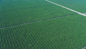
Field-Scale Crop Water Consumption Points to Potential Water Savings in Agriculture
Using remote-sensing data and machine learning, a team from NASA and beyond finds that switching to lower-intensity crops can reduce water consumption in California’s Central Valley by 93%, but this requires adopting uncommon crop types.
How Business and Government Might Solve the Freshwater Crisis Together
Does the public sector need the private sector’s help to address the freshwater crisis?