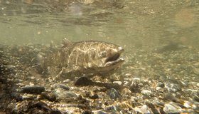
Improving Salmon Habitat and Maintaining Hydroelectric Production in the Columbia River
Without more cool places for migrating salmon to rest as they move through the river, these iconic species could go extinct in the Columbia in as little as two decades.
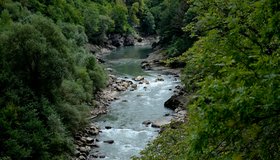
Climate Change Weakening River Seasonality in North
Seasonal flow variability is decreasing as climate change alters Earth’s systems, creating challenges for water management.
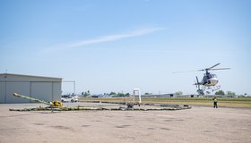
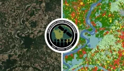
California Water Department Completes First Phase of Innovative Groundwater Mapping Program
State-of-the-art helicopter-based technology and local coordination improve management of our underground water supply.
SWOT Observes Coastal Flooding
The Surface Water and Ocean Topography satellite provides a new view of water on land, at the coast, and in the ocean.
New NASA Training on Using Machine Learning to Help Build Agriculture Solutions
Remote-sensing data is becoming crucial to solve some of the most important environmental problems, especially those related to agricultural applications and food security.

U.S. Cities Could Be Capturing Billions of Gallons of Rain a Day
With better infrastructure and “spongy” green spaces, urban areas have made progress but should be soaking up way more free stormwater.
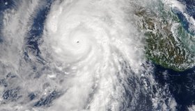
In a Warming World, Climate Scientists Consider Category 6 Hurricanes
Are five hurricane categories enough in a warming world witnessing increasingly extreme events?
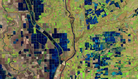
OpenET Study Helps Water Managers and Farmers Put NASA Data to Work
As the world looks for sustainable solutions, a system tapping into NASA satellite data for water management has passed a critical test.
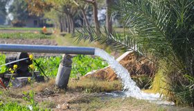
Groundwater Levels Around the World Are Dropping Quickly, Often at Accelerating Rates
Rapid declines are most common in aquifers under croplands in drier regions, including California, the most extensive analysis of groundwater trends so far shows.
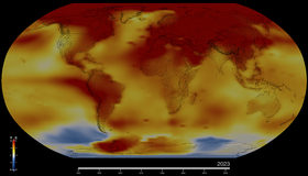
NASA Confirms 2023 as Warmest Year on Record
Global temperatures last year were around 2.1 degrees Fahrenheit (1.2 degrees Celsius) above the average for NASA’s baseline period (1951-1980).