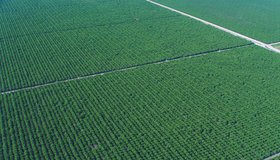
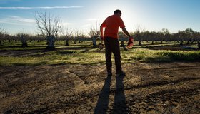
Field-Scale Crop Water Consumption Points to Potential Water Savings in Agriculture
Using remote-sensing data and machine learning, a team from NASA and beyond finds that switching to lower-intensity crops can reduce water consumption in California’s Central Valley by 93%, but this requires adopting uncommon crop types.
How Business and Government Might Solve the Freshwater Crisis Together
Does the public sector need the private sector’s help to address the freshwater crisis?
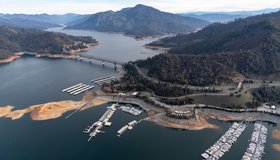
California Zombie Lake Turned Farmland to Water. Is it now Gone for Good?
Resurrected for the first time in decades by an epic deluge of winter rain and snow, by spring the lake covered more than 100,000 acres, stretching over cotton, tomato and pistachio fields and miles of roads.
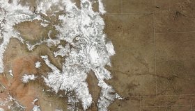
Snowstorm Coats the Rockies
A potent storm pushed snowpack levels above normal across Colorado.
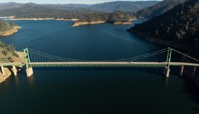
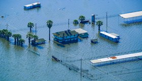
Storms Boost Forecasted California Water Supply
California's State Water Project has been focused on maximizing the capture and storage of water from this winter’s storms.

NASA Sees Spike in 2023 Sea Levels Due to El Niño
A long-term sea level dataset shows ocean surface heights continuing to rise at faster and faster rates over decades of observations.
World Water Day: Water for Peace
This year’s theme, “Water for Peace,” encourages the world to focus not only on the conflicts, but also on how water can be at the center of peacebuilding.
Webinar: Accessing Data for World's Water with NASA's SWOT Mission
Learn how to discover, access, and use Surface Water and Ocean Topography (SWOT) mission data and how these data could lead to new, innovative science and applications in the world of water.
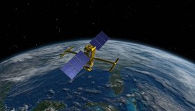
US, Germany Partnering on Mission to Track Earth’s Water Movement
The Gravity Recovery and Climate Experiment-Continuity mission will extend a decades-long record of following shifting water masses using gravity measurements.
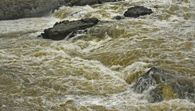
What’s Worse Than a Flood? A Debris Flow
While flood flows are dominated by water, debris flows are a slurry of a lot of things, including boulders.