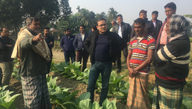
Quantifying Bangladesh’s Vast Water Resources
Citizen scientists and NASA satellites join forces to track water supplies.
Science for a Rainy Day
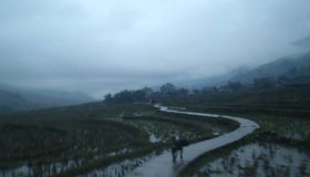
The NASA/USAID SERVIR program is helping Asia adapt to changing rainfall patterns.

Helping Decision-Makers Improve Water Management
A new study from NASA WWAO and other agency partners sets out a roadmap for how environmental research and stewardship can come together.
One Look is Worth a Thousand Words
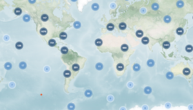
For 20 years NASA's Earth Observatory has told stories of our planet. Its Earth Explorer atlas features 12,000 images showing what's happening locally or on the other side of the world.
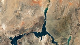
Nasa Images Show a Withering Lake Mead
Water in Lake Mead - the U.S.' largest reservoir - is at its lowest level since 1937 when the reservoir was filled for the first time. At just 27% capacity, NASA images offer a stark illustration of climate change and a long-term drought that may be the worst in the U.S. West in 12 centuries.
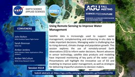
Call For Abstracts: Using Remote Sensing to Improve Water Management
WWAO is hosting a session at the 2022 American Geophysical Union Fall Meeting this December, jointly with NASA's Water Resources Program. Our session looks at how to improve water management using satellite Earth observations. We invite you to join us!
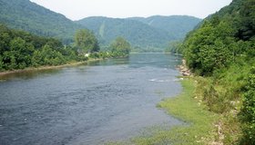
Flood Vulnerability in The Cheat River Watershed
Communities in the Cheat River watershed in West Virginia face frequent flooding, which threatens to reverse years of restoration work aimed at cleaning up pollution from mining. NASA has partnered with a local non-profit to help build resilience to future floods.

Getting Water Out of Snow With NASA Technology
How much water is in mountain snowpack? That’s a question science has been attempting to solve for decades. Finally, NASA-developed technology provides an accurate answer, using a cutting-edge airborne sensor system and sophisticated software that also predicts when snow will melt.
NASA's New Water Use And Crop Yield Simulator
NASA has co-launched a new modeling framework for assessing water use and estimating crop yields at regional levels. GEO-CropSim integrates Earth observations into crop models to help decision makers manage crop production while analyzing water use.
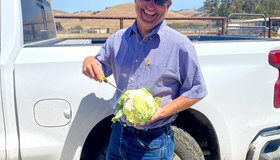
Keeping America's Salad Bowl Full
In seasons when water is scarce, tools powered by NASA data can help farmers decide where to allocate water and nutrients for irrigation and fertilizer.