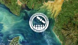
NASA Training on Coastal/Estuarine Water Quality
NASA’s Applied Remote Sensing Training Program (ARSET) is offering a Monitoring Coastal and Estuarine Water Quality webinar as part of its effort to train, empower and advance.
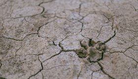
NASA Strengthens Our Resilience to Drought
In the face of severe west-U.S. drought, NASA has launched a new page highlighting its eyes on the drought, which are helping track and monitor the ongoing drought, predict how much water will be available, and improve how we use the water we have.

NASA Snow Campaign Wraps For 2021
The 2021 SnowEx field campaign, which is helping determine how much water winter snowpack holds, has come to a close. Teams took snow measurements at six sites across the western U.S., on the ground and with drones and airplanes flying overhead.
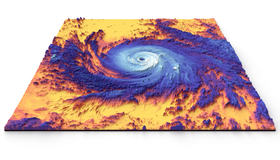
New NASA Earth System Observatory to Help Mitigate Climate Change, Disasters
NASA will design a new set of Earth-focused missions to help mitigate climate change and disasters, fight forest fires, and improve real-time agricultural processes.

PACE Terrestrial-Land Community Assessment
NASA’s Plankton, Aerosol, Cloud, ocean Ecosystem (PACE) mission is inviting the terrestrial-land community to provide insight into how PACE data products can be used.
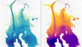
Sizing up Remote Lakes From Space
Researchers have found a new way to measure the depth of some of the most isolated, shallow lakes, using NASA's ICESat-2 satellite. Knowing the shapes of lake beds in dry regions enables us to better estimate the amount of water stored in these basins.

Green Lakes From Space
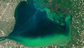
Harmful algal blooms are often hard to predict. NASA's Earth-observing satellites are uniquely poised to help spot them, and track the many ways that different parts of the Earth's system are connected.
When The Water Isn't Fine
The Cyanobacteria Assessment Network (CyAN) - a joint EPA, NASA, NOAA and USGS project - uses satellites to monitor harmful algal blooms in over 2,000 of the largest U.S. lakes. Since its launch, CyAN has saved millions of dollars in monitoring and health costs.

Satellites Shaping Algal Bloom Monitoring Standards
Earth data are becoming more widely valued. For the first time, satellite data have been included in the World Health Organization’s guide on monitoring harmful algal blooms worldwide. The update draws directly from the Cyanobacteria Assessment Network, a multi-agency water project involving NASA.

WWAO Passes Baton to U.S. Dept. of Agriculture
We have liftoff! NASA WWAO's new Soil Moisture Data System is operational and has been handed off to its partner, the U.S. Department of Agriculture, as the project comes to a close.