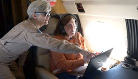
NASA-Related Effort Helping Ensure New York Water Quality
A new project involving Columbia University, New York City and NASA scientists will build a climate action plan to reduce the impact of climate change on New York's water supply, and ensure the agricultural sector continues to protect the city's water quality.
NASA Makes Sense of Earth’s Subtle Motions
What can hidden motions underground tell us about groundwater, climate change, earthquakes and eruptions? NASA scientists are using data gathered 400 miles above Earth to find out.
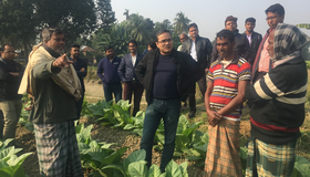
Quantifying Bangladesh’s Vast Water Resources
Citizen scientists and NASA satellites join forces to track water supplies.
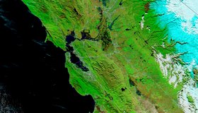
Floodwater Inundates North-Central California
Heavy rain and levee breaches triggered flooding in parts of Sacramento and the Bay Area.
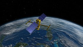
Watch the Latest Water Satellite Unfold in Space
Cameras on the Surface Water and Ocean Topography spacecraft captured the antennas for its main science instrument unfurling in orbit.
Groundwater Replenishes Much Faster Than Thought
A new climate-based model suggests that scientists may be underestimating the importance of groundwater in sustaining streams and plant life.
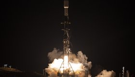
NASA Launches International Mission to Survey Earth's Water
Led by NASA and the French space agency CNES, the Surface Water and Ocean Topography mission will provide high-definition data on nearly all the water on our planet’s surface.
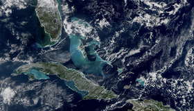
First Images Released From NOAA-21 VIIRS Instrument
Bright blue water in the Caribbean Sea and smog in Northern India appear in the first worldwide image produced with data from NOAA-21’s VIIRS instrument, which began collecting Earth data in December. VIIRS offers global insight into our atmosphere, land, and oceans.
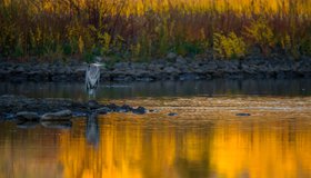
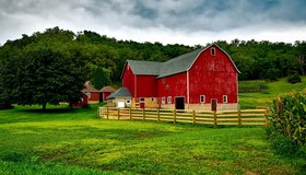
Which Wetlands to Protect? Supreme Court to Decide
The U.S. loses about 60,000 acres of wetlands a year. An upcoming Supreme Court decision could settle which wetlands get federal protection under the Clean Water Act.
How Water Cycles Can Help Prevent Disastrous Floods and Drought
To prevent devastating droughts and floods, humanity can tune in to natural solutions to repair water cycles disrupted by human development.